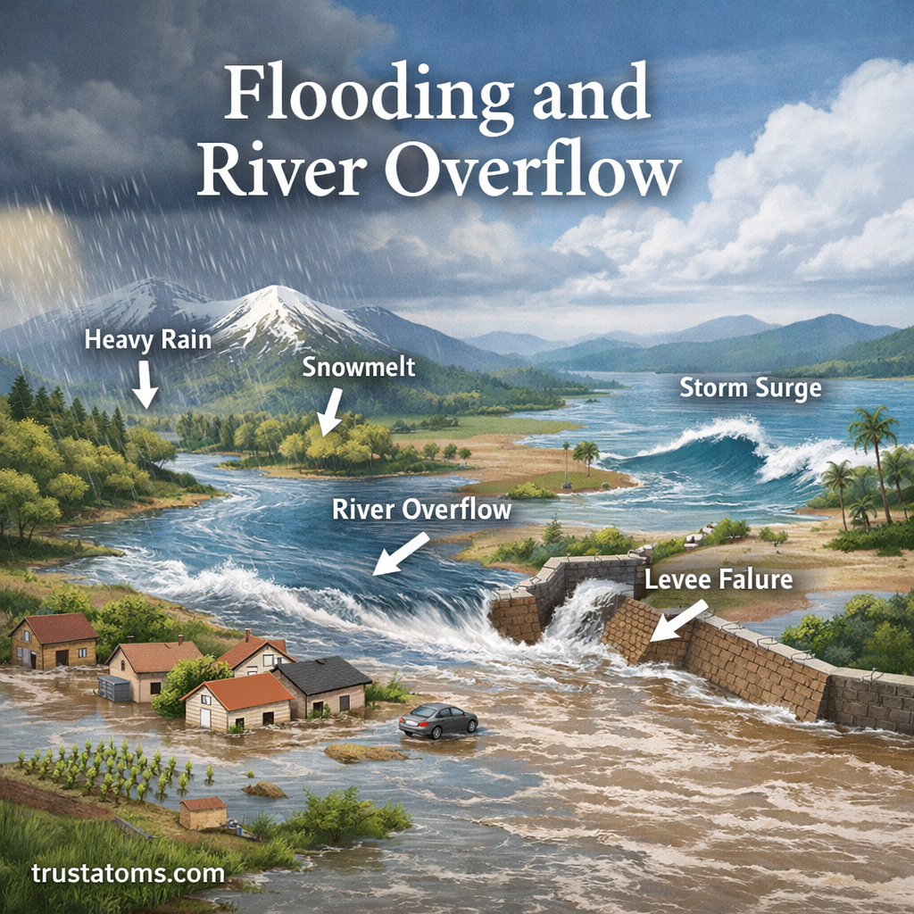
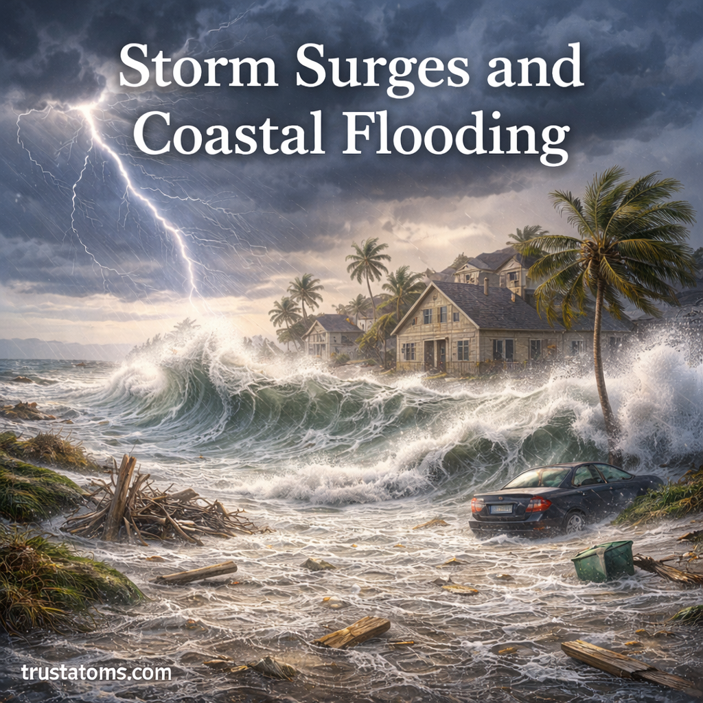
Coriolis Effect and Weather Systems

Illustration of Earth showing the Coriolis effect with curved wind patterns and rotating storm systems in both hemispheres.
Diagram showing how the Coriolis effect deflects winds and influences storm rotation across Earth. trustatoms.com.

The Coriolis effect is one of the most important forces shaping Earth’s weather systems. It influences how air moves across the planet, affects wind patterns, and plays a key role in the formation of storms.

Without the Coriolis effect, global weather patterns would look completely different, and many of the systems we rely on for forecasting would not exist in their current form.

Continue reading “Coriolis Effect and Weather Systems”

Jet Streams and Global Wind Patterns

Illustration of Earth showing jet streams, trade winds, westerlies, and polar easterlies with global wind circulation patterns.
Global view of jet streams and major wind patterns shaping Earth’s weather and climate. trustatoms.com.

Jet streams and global wind patterns are powerful forces that shape Earth’s weather and climate. These high-speed air currents influence storm paths, temperature changes, and even flight routes.

Understanding how these systems work provides insight into everything from daily forecasts to long-term climate patterns.

Continue reading “Jet Streams and Global Wind Patterns”

Air Pressure and Atmospheric Circulation

Illustration showing high and low pressure systems, global wind patterns, and atmospheric circulation cells on Earth.
Diagram of air pressure systems and global atmospheric circulation patterns driving weather and climate. trustatoms.com.

Air pressure and atmospheric circulation are fundamental to understanding weather, climate, and how energy moves across the planet. These processes influence everything from daily wind patterns to large-scale systems like storms and jet streams.

In this guide, you’ll learn how air pressure works, what causes it to change, and how it drives the movement of air around Earth.

Continue reading “Air Pressure and Atmospheric Circulation”

Troposphere, Stratosphere, and Beyond

Illustration showing Earth’s atmospheric layers including troposphere, stratosphere, mesosphere, thermosphere, and exosphere with real-world examples like clouds, planes, and satellites.
Visual overview of Earth’s atmospheric layers from the troposphere to the edge of space. trustatoms.com.

Earth’s atmosphere is not a single uniform layer—it is a structured system made up of distinct regions, each with its own properties and functions. From the air we breathe to the edge of space, these layers work together to support life, regulate climate, and protect the planet.

In this guide, we’ll explore the troposphere, stratosphere, and beyond, breaking down how each atmospheric layer behaves and why it matters.

Continue reading “Troposphere, Stratosphere, and Beyond”

Structure of Earth’s Atmosphere

Illustration showing the layers of Earth’s atmosphere including troposphere, stratosphere, mesosphere, thermosphere, and exosphere.
Layered diagram of Earth’s atmosphere showing its five main regions. trustatoms.com.

The Earth’s atmosphere is a layered envelope of gases that surrounds the planet, protects life, and regulates climate. It plays a crucial role in everything from breathing and weather patterns to shielding us from harmful radiation.

Understanding the structure of the atmosphere helps explain how weather forms, how planes fly, and why conditions change as you move higher above the surface.

Continue reading “Structure of Earth’s Atmosphere”

Landform Development in Active Regions

Illustration showing landform development in active regions with volcanoes, mountain ranges, trenches, and fault lines.
Illustration of landform development in active regions shaped by tectonic activity and volcanic processes. trustatoms.com

Earth’s most dramatic landscapes are found in geologically active regions—areas where tectonic plates interact, volcanoes erupt, and earthquakes reshape the land. These regions are constantly evolving, producing mountains, valleys, volcanoes, and other landforms at a much faster rate than stable areas.

Understanding landform development in active regions helps explain how Earth’s surface is built, reshaped, and transformed over time.

Continue reading “Landform Development in Active Regions”

Crustal Recycling Through Subduction

Illustration showing crustal recycling through subduction with oceanic plate sinking, magma formation, and volcanic activity.
Illustration of crustal recycling through subduction showing how oceanic crust is recycled into the mantle. trustatoms.com

Earth’s surface is not permanent. Oceanic crust is constantly created, destroyed, and recycled through a powerful geological process known as subduction. This process plays a key role in shaping continents, fueling volcanic activity, and maintaining the dynamic nature of our planet.

Crustal recycling through subduction is one of the most important mechanisms in plate tectonics, helping regulate Earth’s structure over millions of years.

Continue reading “Crustal Recycling Through Subduction”

Plate Boundaries and Resource Distribution

Illustration showing convergent, divergent, and transform plate boundaries with associated natural resource distribution like minerals and fossil fuels.
Illustration of plate boundaries and how they influence natural resource distribution on Earth. trustatoms.com

Earth’s surface is divided into massive moving pieces called tectonic plates. Where these plates meet—known as plate boundaries—intense geological activity occurs. These regions are not only responsible for earthquakes, volcanoes, and mountain building, but they also play a major role in the distribution of natural resources.

Understanding plate boundaries helps explain why valuable minerals, energy sources, and geological resources are concentrated in specific parts of the world.

Continue reading “Plate Boundaries and Resource Distribution”

Landscape Evolution Over Time

Illustration showing landscape evolution over time with mountains, rivers, volcanoes, and coastlines changing across different stages.
Illustration of landscape evolution over time showing how Earth’s surface changes through natural processes. trustatoms.com

Landscapes are constantly changing. Mountains rise and fall, rivers shift their paths, and coastlines advance or retreat. These changes occur over timescales ranging from sudden natural events to slow transformations that take millions of years.

Landscape evolution is the study of how Earth’s surface changes over time due to the interaction of geological, climatic, and biological processes.

Continue reading “Landscape Evolution Over Time”

Earth Surface Processes and Change

Illustration showing Earth surface processes including weathering, erosion, deposition, and tectonic activity shaping landscapes.
Illustration of Earth surface processes and change shaping mountains, rivers, and coastlines. trustatoms.com

Earth’s surface is constantly changing. Mountains rise, rivers carve valleys, coastlines shift, and landscapes evolve over time. These transformations are driven by a combination of internal forces from within the planet and external forces acting on the surface.

Understanding Earth surface processes helps explain how landforms develop, how natural hazards occur, and how our environment changes over time.

Continue reading “Earth Surface Processes and Change”