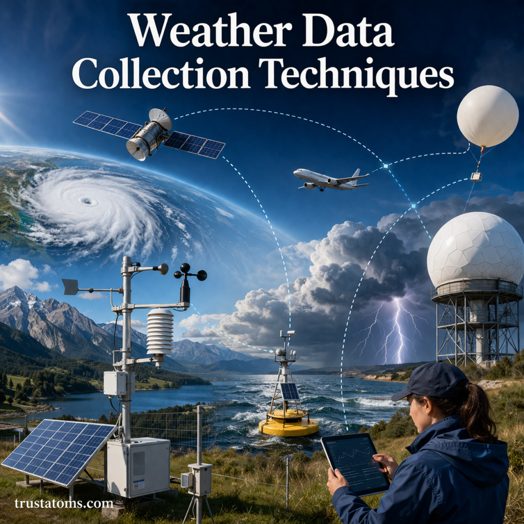
Accurate weather forecasting depends on reliable data. Meteorologists gather information from a wide range of tools and technologies to monitor atmospheric conditions in real time. These weather data collection techniques help track temperature, pressure, humidity, wind, and precipitation—forming the foundation of modern weather prediction.
Understanding how this data is collected provides insight into how forecasts are made and why they continue to improve over time.
Why Weather Data Collection Matters
Weather data is essential for:
- Forecasting daily weather conditions
- Predicting severe weather events
- Supporting aviation and maritime operations
- Assisting agriculture and water management
- Monitoring climate trends
Without accurate data, forecasts would be unreliable and potentially dangerous.
Key Types of Weather Data
Meteorologists collect several core types of atmospheric data:
- Temperature – how hot or cold the air is
- Air pressure – the force exerted by the atmosphere
- Humidity – the amount of moisture in the air
- Wind speed and direction
- Precipitation – rain, snow, or hail
Each of these variables helps build a complete picture of current weather conditions.
Surface Weather Stations
Surface weather stations are one of the most common data collection methods.
What They Measure
- Temperature
- Humidity
- Wind speed and direction
- Air pressure
- Rainfall
Types of Stations
- Manual stations: Operated by observers
- Automated stations: Use sensors and transmit data continuously
These stations are located worldwide, forming a global observation network.
Weather Balloons (Radiosondes)
Weather balloons provide data from higher altitudes in the atmosphere.
How They Work
- A balloon carries instruments called radiosondes
- As it rises, it collects data on:
- Temperature
- Pressure
- Humidity
- Data is transmitted back to ground stations
Why They’re Important
- Provide vertical profiles of the atmosphere
- Help identify instability and storm potential
- Improve forecasting accuracy
Weather Satellites
Satellites observe Earth from space, offering a global perspective.
Types of Satellites
- Geostationary satellites: Stay over one location and provide continuous monitoring
- Polar-orbiting satellites: Circle Earth and capture detailed global data
What Satellites Detect
- Cloud cover and movement
- Storm development
- Temperature patterns
- Water vapor distribution
Satellites are essential for tracking large-scale weather systems like hurricanes.
Doppler Radar
Doppler radar is a key tool for detecting precipitation and storm activity.
How It Works
- Sends out radio waves
- Measures how they bounce back from precipitation particles
- Detects motion (toward or away from the radar)
What It Reveals
- Rain intensity
- Storm structure
- Wind patterns within storms
- Rotation (important for tornado detection)
Ocean and Buoy Systems
Oceans play a major role in weather, so monitoring them is critical.
Buoy Networks Measure:
- Sea surface temperature
- Wave height
- Wind speed
- Atmospheric pressure
Importance
- Help track storms over oceans
- Provide data for hurricane forecasting
- Improve climate monitoring
Aircraft-Based Observations
Aircraft collect weather data during flights.
What They Measure
- Temperature
- Wind speed
- Air pressure
Benefits
- Provide real-time data from the upper atmosphere
- Improve forecast accuracy along flight paths
- Enhance severe weather detection
Remote Sensing Technologies
Remote sensing gathers data without direct contact.
Examples
- Radar systems
- Satellite imaging
- Lidar (light detection and ranging)
Advantages
- Cover large areas quickly
- Provide continuous monitoring
- Detect changes that ground stations may miss
Data Integration and Forecasting
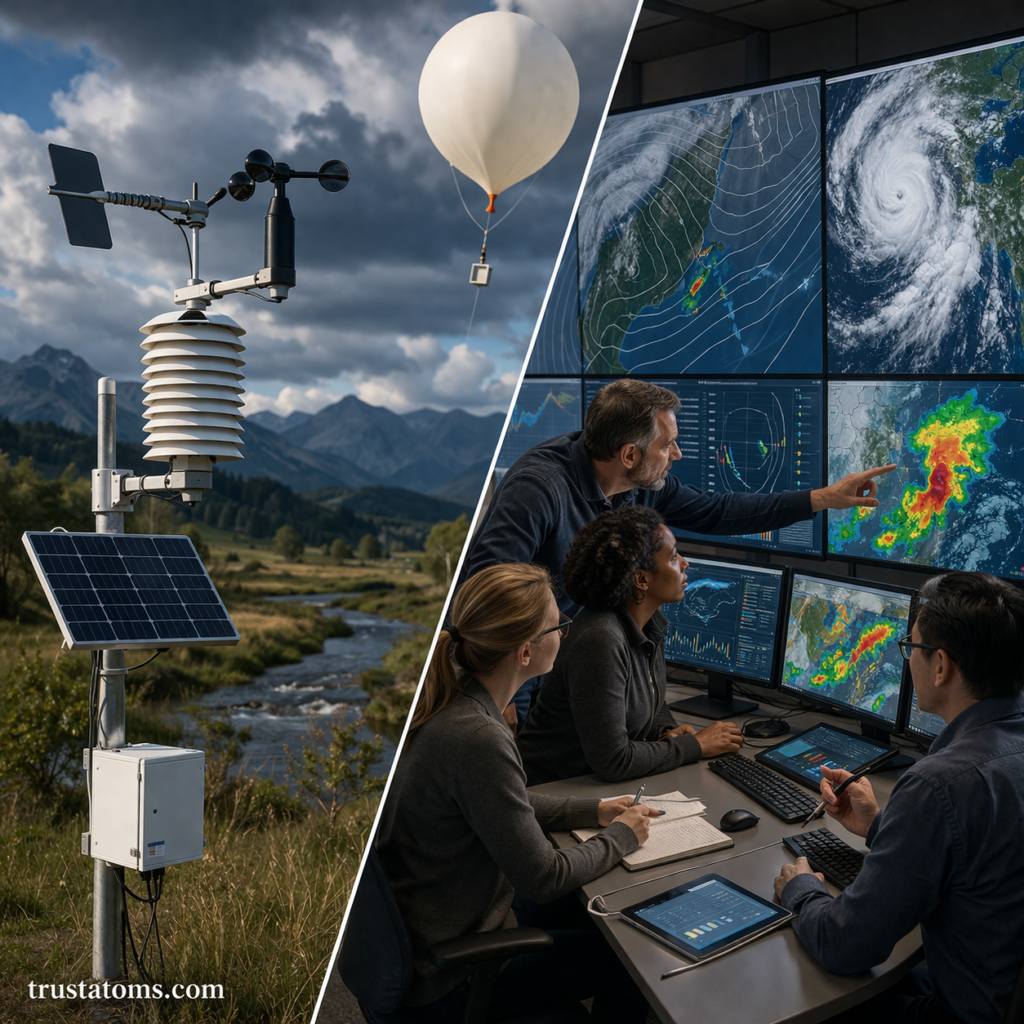
Collecting data is only part of the process—combining it is equally important.
How Data Is Used
- Data is gathered from multiple sources
- It is processed by computer models
- Models simulate atmospheric behavior
- Meteorologists interpret results
- Forecasts are generated and shared
Challenges in Weather Data Collection
Despite advanced technology, there are still challenges.
Common Issues
- Limited coverage in remote areas
- Equipment maintenance and calibration
- Data gaps over oceans and polar regions
- Rapidly changing weather conditions
Advances in Weather Data Collection
Technology continues to improve how data is collected and analyzed.
Recent Innovations
- High-resolution satellite imaging
- AI and machine learning for data analysis
- Improved sensor accuracy
- Real-time global data sharing
These advancements are making forecasts faster and more reliable.
Key Takeaways
- Weather data collection is essential for accurate forecasting
- Multiple tools are used, including stations, balloons, satellites, and radar
- Each method provides unique information about the atmosphere
- Data is combined and analyzed using computer models
- Ongoing advancements are improving accuracy and coverage
Final Thoughts
Weather data collection techniques form the backbone of modern meteorology. By combining observations from land, air, sea, and space, scientists can better understand atmospheric conditions and predict future weather.
As technology evolves, these systems will continue to improve—helping societies stay informed, prepared, and resilient in the face of changing weather patterns.