Geological hazard mapping is a critical tool used to identify areas at risk from natural hazards such as earthquakes, landslides, volcanic eruptions, and floods. By analyzing geological data and environmental conditions, scientists create maps that help governments, engineers, and communities make safer decisions.
These maps are essential for reducing risk, guiding development, and improving disaster preparedness.
What Is Geological Hazard Mapping?
Geological hazard mapping involves the collection, analysis, and visualization of data related to natural hazards. The goal is to identify where hazards are most likely to occur and how severe they could be.
Key features of hazard maps:
- Show high-risk and low-risk zones
- Identify specific hazard types
- Provide spatial (location-based) information
- Support planning and emergency response
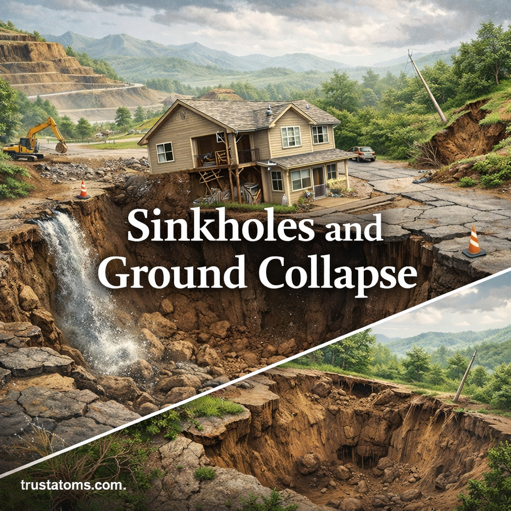
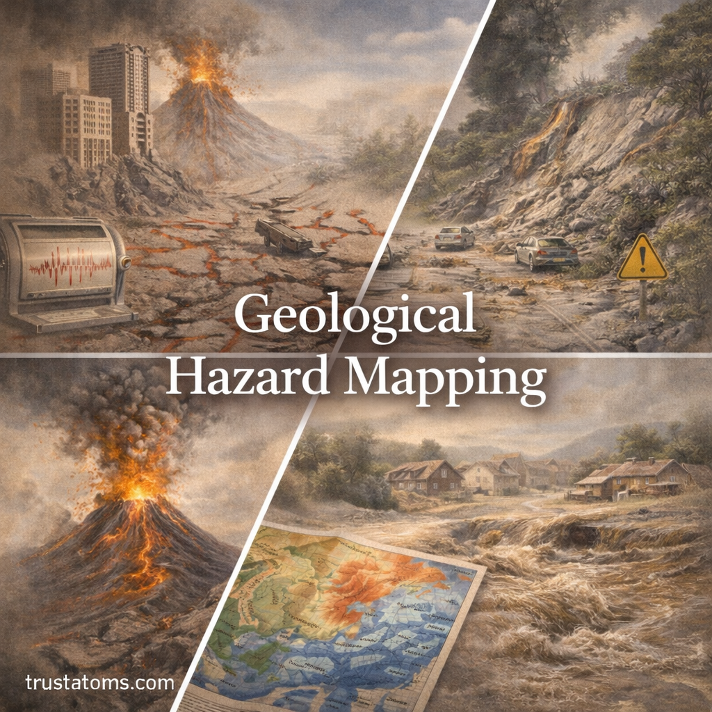
Types of Geological Hazards Mapped
Different types of hazards require different mapping approaches.
Earthquake Hazard Maps
- Show fault lines and seismic zones
- Estimate ground shaking intensity
- Help guide building codes and infrastructure design
Landslide Hazard Maps
- Identify unstable slopes
- Highlight areas prone to mass wasting
- Consider factors like soil type, slope angle, and rainfall
Volcanic Hazard Maps
- Map lava flow paths, ashfall zones, and pyroclastic flow areas
- Identify danger zones around volcanoes
- Used for evacuation planning
Flood Hazard Maps
- Show areas likely to be inundated by water
- Include floodplains and coastal zones
- Help with insurance, zoning, and infrastructure planning
How Geological Hazard Maps Are Created
Creating accurate hazard maps involves multiple steps and technologies.
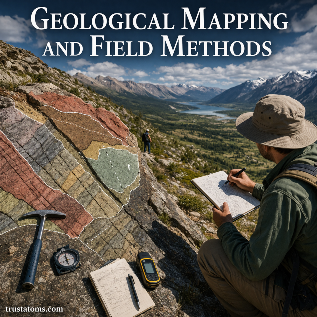
Data Collection
Scientists gather data from various sources:
- Field surveys
- Satellite imagery
- Historical records of past events
- Geological and topographic maps
Analysis and Modeling
Collected data is analyzed to predict future hazards.
- Computer models simulate possible events
- Risk levels are assigned based on probability and severity
- Geographic Information Systems (GIS) are used to visualize data
Map Production
The final step is creating user-friendly maps.
- Color-coded zones indicate risk levels
- Symbols represent specific hazards
- Maps are designed for both experts and the public
Importance of Geological Hazard Mapping
Hazard mapping plays a vital role in protecting lives and property.
Risk Reduction
- Identifies high-risk areas before disasters occur
- Helps avoid building in dangerous zones
Urban Planning
- Guides safe land use and development
- Supports infrastructure placement (roads, bridges, utilities)
Emergency Preparedness
- Assists in evacuation planning
- Helps allocate emergency resources effectively
Public Awareness
- Educates communities about local risks
- Encourages preparedness and safety measures
Real-World Applications
Geological hazard maps are used worldwide to manage risk and improve safety.
- The United States Geological Survey produces detailed hazard maps for earthquakes and volcanoes
- Japan uses advanced seismic hazard maps due to frequent earthquakes
- Coastal regions rely on flood and tsunami hazard mapping for disaster planning
Limitations of Hazard Mapping
While extremely useful, hazard maps are not perfect.
- Cannot predict exact timing of events
- Depend on available data and technology
- May become outdated as conditions change
Because of these limitations, maps should be updated regularly and used alongside other risk management strategies.
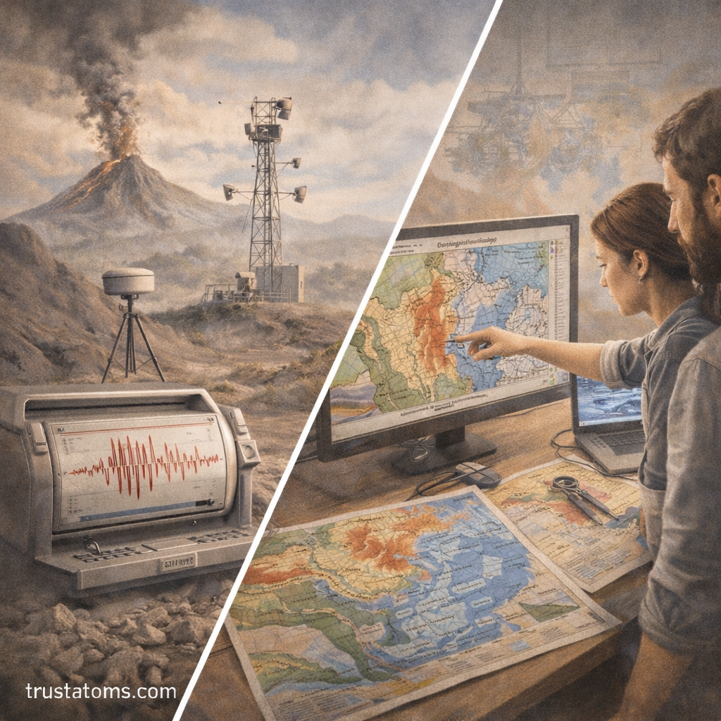
Advances in Hazard Mapping Technology
Modern technology is improving the accuracy and usefulness of hazard maps.
Remote Sensing
- Satellites provide real-time data
- Helps monitor changes in terrain and environment
GIS and Digital Mapping
- Allows for detailed and interactive maps
- Enables layering of multiple hazard types
Artificial Intelligence and Modeling
- Improves prediction accuracy
- Identifies patterns in large datasets
How Communities Can Use Hazard Maps
Hazard maps are only effective if they are used properly.
Practical Uses
- Check local hazard maps before buying property
- Follow zoning and building regulations
- Develop emergency plans based on local risks
For Governments and Planners
- Enforce building codes in high-risk areas
- Plan evacuation routes and emergency shelters
- Invest in infrastructure that reduces hazard impact
Why Geological Hazard Mapping Matters
Geological hazards are unavoidable, but their impacts can be reduced. Hazard mapping provides the knowledge needed to make informed decisions and minimize risk.
It connects science with real-world action, helping societies prepare for and respond to natural disasters more effectively.
Final Thoughts
Geological hazard mapping is one of the most powerful tools in Earth science for protecting communities and guiding sustainable development. By understanding where hazards are likely to occur, we can build safer cities, plan smarter infrastructure, and respond more effectively when disasters strike.
In a world facing increasing environmental challenges, hazard mapping is more important than ever.