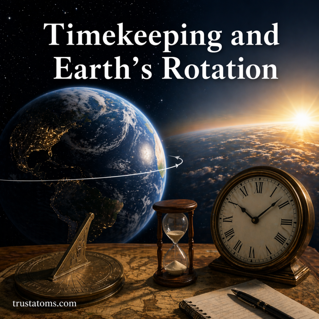
Geological Mapping and Field Methods

Illustration of geological mapping and field methods showing a geologist analyzing rock layers with tools in a mountainous landscape.
Diagram of geological mapping and field methods with a geologist studying rock layers and recording field data. trustatoms.com.

Geological mapping and field methods are essential tools used by Earth scientists to study the structure, composition, and history of the planet. By observing rocks, measuring features, and recording data directly in the field, geologists create maps that reveal how Earth’s surface is organized and how it has changed over time.

These methods form the foundation of geology, supporting everything from academic research to natural resource exploration and hazard assessment.

Continue reading “Geological Mapping and Field Methods”

Sedimentary Basins and Stratigraphy

Illustration of sedimentary basins and stratigraphy showing layered rock formations, sediment deposition, and geological structure.
Diagram showing sedimentary basins and stratigraphy with layered rock formations and sediment buildup over time. trustatoms.com.

Sedimentary basins and stratigraphy are essential concepts in Earth science that help explain how layers of rock form, accumulate, and record Earth’s history over millions of years. Together, they provide a framework for understanding geological processes, natural resources, and past environments.

Continue reading “Sedimentary Basins and Stratigraphy”

Fossil Formation in Geological Context

Illustration showing fossil formation stages in geological context with sediment layers and preserved skeleton over time.
Diagram of fossil formation in geological context showing burial, layering, and eventual exposure of fossils. trustatoms.com.

Fossils are more than just preserved remains of ancient life—they are vital records that help scientists understand Earth’s history, environments, and biological evolution. Fossil formation is a rare and complex process that occurs under specific geological conditions, often taking millions of years.

Understanding how fossils form within a geological context reveals how landscapes, climates, and ecosystems have changed over time.

Continue reading “Fossil Formation in Geological Context”

Isostasy and Crustal Balance

Illustration of isostasy and crustal balance showing mountains, ocean basins, and Earth’s crust floating on the mantle with varying thickness.
Diagram showing isostasy and crustal balance with thick continental crust and thinner oceanic crust supported by the mantle. trustatoms.com.

Isostasy is a fundamental concept in Earth science that explains how Earth’s crust maintains balance as it “floats” on the denser, semi-fluid mantle below. This principle helps scientists understand why mountains stand tall, why continents sit higher than ocean basins, and how the crust responds to changes like erosion, ice melt, and tectonic forces.

Continue reading “Isostasy and Crustal Balance”

Continental Drift Theory Development

Illustration showing continental drift theory development with Pangaea breaking apart into modern continents and a scientist studying early evidence.
Illustration of continental drift theory development showing Pangaea splitting into modern continents. trustatoms.com.

Continental Drift Theory is one of the most important ideas in Earth science, explaining how continents have moved across the planet over millions of years. What began as a controversial hypothesis eventually became the foundation for modern plate tectonics, reshaping how scientists understand Earth’s structure, geology, and natural processes.

Continue reading “Continental Drift Theory Development”

Mountain Building Processes

Illustration showing mountain formation from tectonic plate collision, uplift, and erosion with a cross-section of Earth’s crust.
Diagram of mountain building processes including tectonic plate collision, uplift, and erosion shaping the landscape. trustatoms.com.

Mountains are some of the most striking features on Earth’s surface, formed over millions of years through powerful geological forces. The process of mountain formation is known as orogeny, and it is closely tied to plate tectonics, crustal movement, and Earth’s internal energy.

Understanding how mountains form helps explain earthquakes, volcanic activity, and the long-term evolution of continents.

Continue reading “Mountain Building Processes”

Seismic Waves and Earth’s Interior

Illustration showing seismic waves traveling through Earth’s interior with crust, mantle, and core layers.
Visual diagram of seismic waves moving through Earth’s layers, illustrating how scientists study the planet’s interior. trustatoms.com.

Seismic waves are one of the most powerful tools scientists use to study what lies beneath Earth’s surface. Because we cannot directly observe most of Earth’s interior, these waves provide critical clues about the structure, composition, and physical state of the planet’s layers.

Continue reading “Seismic Waves and Earth’s Interior”

Earth’s Density and Interior Structure

Illustration of Earth’s density and interior structure showing crust, mantle, outer core, and inner core layers.
Cross-sectional illustration of Earth’s layers including the crust, mantle, outer core, and inner core. trustatoms.com.

Understanding Earth’s density and internal structure helps explain everything from gravity and magnetic fields to earthquakes and volcanic activity. Although we can’t directly observe most of Earth’s interior, scientists have developed reliable models using seismic waves, rock samples, and physics.

Continue reading “Earth’s Density and Interior Structure”

Plate Boundaries and Crustal Movement

Illustration of plate boundaries and crustal movement showing divergent, convergent, and transform plate interactions.
Illustration of plate boundaries and crustal movement showing how tectonic plates interact. trustatoms.com

Earth’s surface is not a single solid shell—it is divided into large pieces called tectonic plates. These plates are constantly moving, though very slowly, driven by forces deep within the planet. Where these plates meet, interactions occur that shape the planet’s surface in dramatic ways.

Plate boundaries and crustal movement are responsible for earthquakes, volcanoes, mountain building, and the creation of ocean basins.

Continue reading “Plate Boundaries and Crustal Movement”