Mapping the night sky is one of the oldest practices in astronomy, dating back thousands of years. From early civilizations tracking constellations to modern digital sky surveys, humans have always sought to understand and organize the stars.
Today, mapping the night sky combines traditional observation with advanced technology, allowing astronomers to create detailed charts of stars, galaxies, and cosmic structures. Organizations like NASA and ESA continue to expand our knowledge through large-scale sky mapping projects.
What Does It Mean to Map the Night Sky?
Mapping the night sky involves identifying, recording, and organizing celestial objects based on their positions and movements.
Key elements of sky mapping:
- Stars and constellations
- Planets and their paths
- Galaxies and nebulae
- Coordinates and reference systems
Astronomers use these maps to track changes, locate objects, and better understand the structure of the universe.
A Brief History of Sky Mapping
Humans have been mapping the sky long before modern science.
Early contributions:
- Ancient civilizations used constellations for navigation and storytelling
- Greek astronomers developed early star catalogs
- Islamic scholars refined astronomical measurements
- Renaissance astronomers improved accuracy with telescopes
One of the most influential early astronomers was Claudius Ptolemy, whose star catalog remained important for centuries.
How Modern Sky Mapping Works
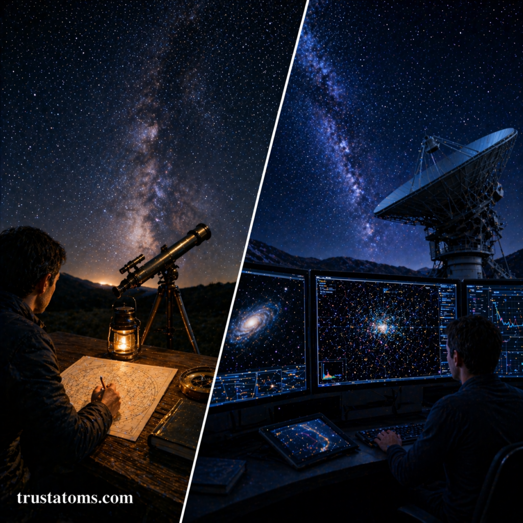
Today’s sky mapping relies on powerful telescopes, satellites, and digital data processing.
Tools used in modern mapping:
- Ground-based observatories
- Space telescopes
- Digital imaging systems
- Computer algorithms
Basic process:
- Telescopes capture images of the sky
- Software identifies and catalogs objects
- Data is mapped using coordinate systems
- Maps are updated over time
Large surveys can map millions—or even billions—of celestial objects.
Coordinate Systems in Astronomy
To map the sky accurately, astronomers use coordinate systems similar to latitude and longitude on Earth.
Main systems:
Equatorial Coordinate System
- Based on Earth’s rotation
- Uses right ascension and declination
Galactic Coordinate System
- Centers on the Milky Way
- Used to study our galaxy’s structure
Ecliptic Coordinate System
- Based on Earth’s orbit around the Sun
- Useful for tracking planets
These systems help astronomers locate objects precisely in the sky.
Major Sky Mapping Projects
Modern astronomy has produced some of the most detailed maps of the universe.
Notable projects:
- Hubble Space Telescope deep field surveys
- Gaia mission mapping billions of stars
- Sloan Digital Sky Survey cataloging galaxies and quasars
These projects provide massive datasets that scientists use to study cosmic structure and evolution.
Why Mapping the Night Sky Is Important
Sky mapping is essential for both scientific research and practical applications.
Key benefits:
- Helps track the motion of stars and planets
- Supports space navigation and satellite positioning
- Aids in discovering new celestial objects
- Provides data for studying cosmic evolution
It also allows amateur astronomers to locate and observe objects more easily.
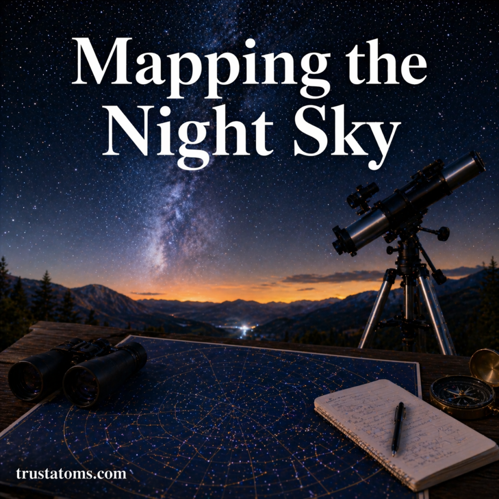
Tools for Amateur Sky Mapping
You don’t need advanced equipment to start mapping the night sky yourself.
Beginner-friendly tools:
- Star charts and planispheres
- Mobile apps like SkyView
- Binoculars or small telescopes
- Online sky maps
Simple steps to get started:
- Choose a clear, dark location
- Identify major constellations
- Use a star chart or app for guidance
- Track objects over multiple nights
With practice, anyone can learn to navigate the night sky.
Challenges in Sky Mapping
Despite modern technology, mapping the universe is still complex.
Common challenges:
- Light pollution affecting visibility
- Atmospheric distortion
- Vast distances and scale
- Constant motion of celestial objects
Astronomers continuously refine techniques to improve accuracy and detail.
The Future of Sky Mapping
Sky mapping is becoming more advanced with new technology and data analysis methods.
What’s next:
- AI-powered object detection
- More precise measurements of star positions
- Real-time sky monitoring
- Deeper exploration of distant galaxies
Future missions will continue to expand our cosmic maps and reveal previously unseen regions of the universe.
Final Thoughts
Mapping the night sky connects ancient traditions with modern science. From early star charts to advanced digital surveys, this practice has helped humanity understand its place in the universe.
As technology evolves, sky mapping will continue to uncover new discoveries, making the universe more accessible to both scientists and everyday stargazers.