Earth science tools are instruments used to observe and measure the atmosphere, oceans, rocks, soil, and processes occurring beneath Earth’s surface. Scientists combine direct measurements, remote sensing, laboratory analysis, and computer models to understand environmental changes, investigate geological activity, and assess natural hazards.
These methods form the practical foundation of Earth science, connecting observations with explanations of how the planet works. From a simple thermometer to a satellite orbiting Earth, each instrument measures particular properties and provides evidence that researchers can compare over time.
What Are Earth Science Tools?
Earth science tools include field instruments, laboratory equipment, monitoring networks, and technologies that collect information from a distance. The appropriate tool depends on the scientific question, the property being measured, and the location being studied.
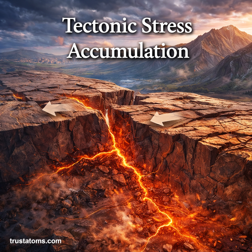
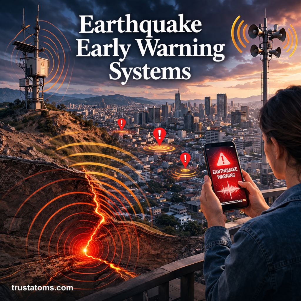
Geologists use instruments to investigate rocks, faults, and ground movement. Seismic Monitoring Systems explains how networks of sensors record earthquake vibrations and help scientists locate seismic events.
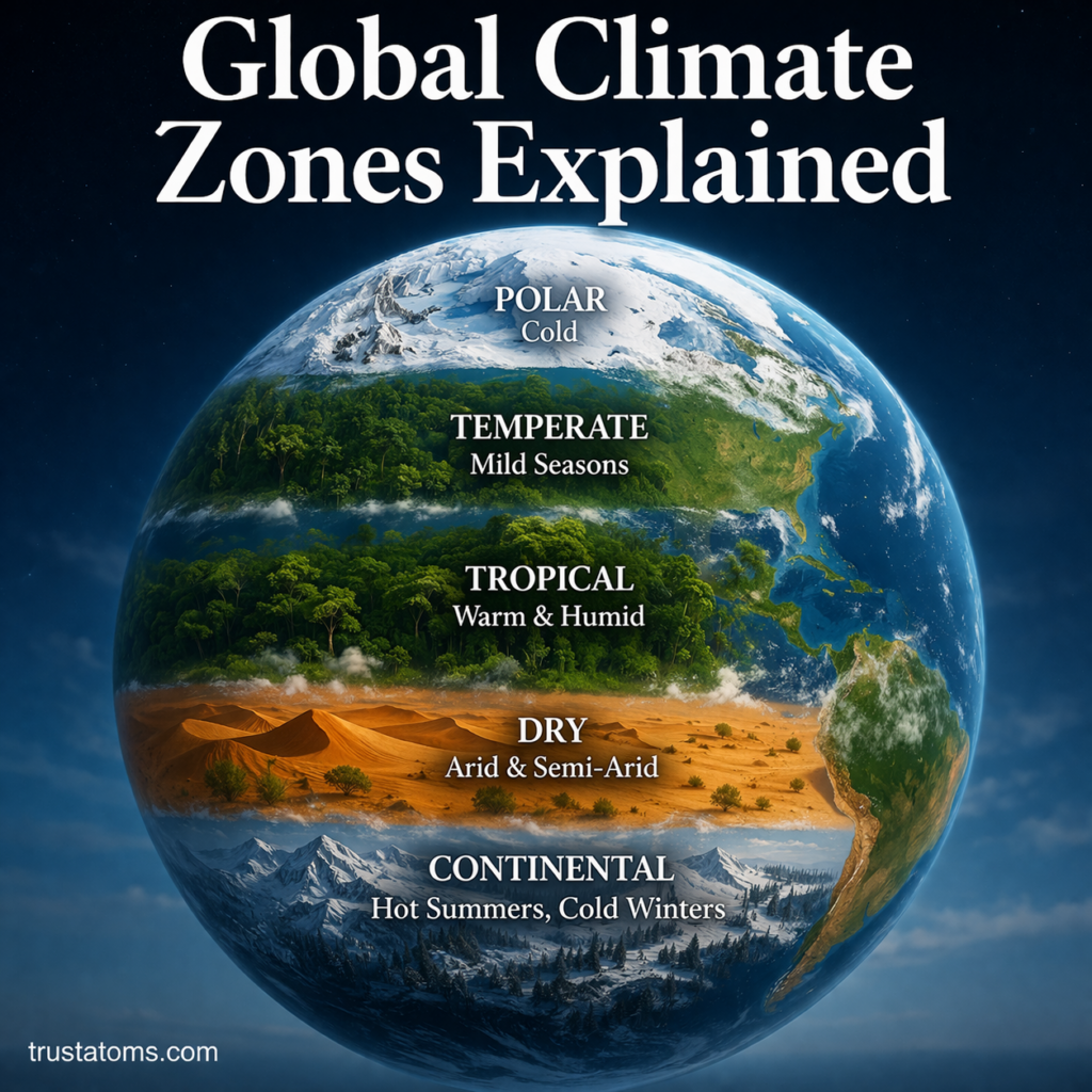
Climate researchers compare observations collected over many years. Global Climate Monitoring Systems describes how satellites, ocean instruments, and weather stations contribute to long-term climate records.
Field observations remain essential for interpreting measurements. Geological Mapping and Field Methods examines how scientists document rock formations, structures, and their locations.
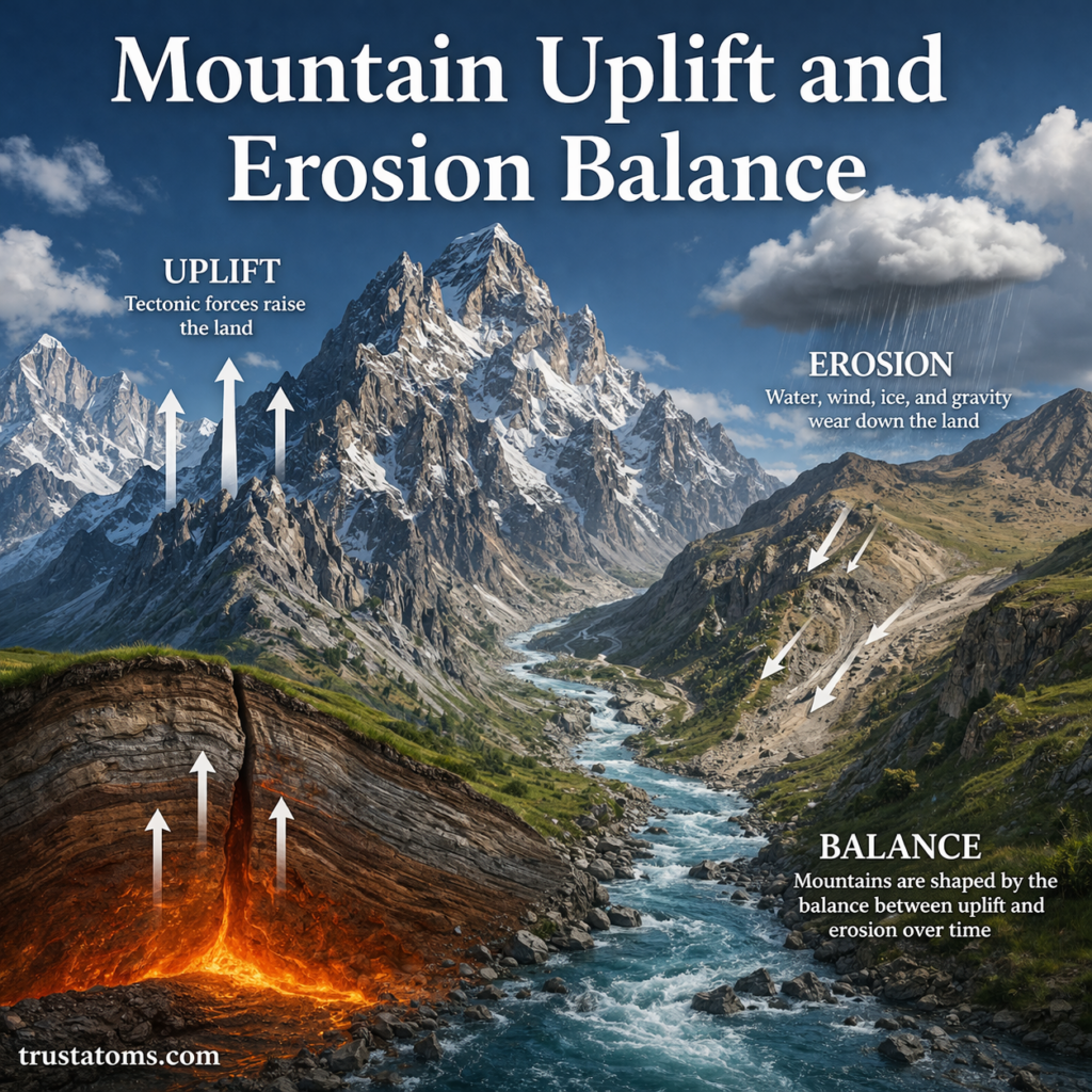
Measurements also support public safety. Geological Hazards and Risk Mapping explains how geological evidence and spatial data help identify areas exposed to earthquakes, landslides, and other hazards.
Geological Instruments for Studying Rocks and Earthquakes
Seismometers
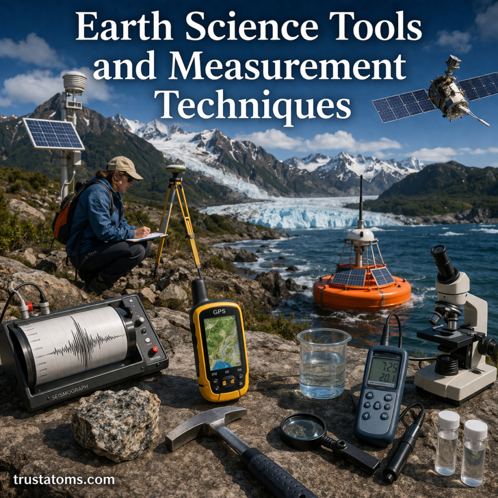
A seismometer detects ground motion caused by earthquakes and other vibrations. Its recordings, called seismograms, show how the ground moves over time. Scientists compare seismic waves recorded at multiple stations to determine an earthquake’s location and estimate its magnitude.
Rock Hammers, Hand Lenses, and Compasses
Geologists use rock hammers to examine or collect suitable samples and hand lenses to inspect mineral grains and textures. A geological compass can measure the orientation of rock layers, fractures, and faults, helping researchers reconstruct the structure of an area.
GPS and GNSS Receivers
Global Navigation Satellite System receivers, including GPS equipment, determine positions using signals from navigation satellites. High-precision instruments can detect small changes in ground position over time, providing evidence of tectonic plate movement and deformation near faults.
Weather Instruments Used in Meteorology
Meteorologists measure atmospheric conditions to describe current weather and improve forecasts. Common instruments include:
- Thermometers: Measure air temperature, usually reported in degrees Celsius or Fahrenheit.
- Barometers: Measure atmospheric pressure, commonly expressed in hectopascals.
- Anemometers: Measure wind speed, while wind vanes indicate wind direction.
- Rain gauges: Collect precipitation to measure rainfall amounts.
- Hygrometers: Measure humidity, including relative humidity.
Weather satellites provide observations across large regions, while radar detects precipitation and helps track storm movement. These technologies complement ground-based instruments rather than replacing them.
Oceanographic Tools for Measuring the Seas
Sonar and Seafloor Mapping
Sonar uses sound waves to investigate underwater environments. Echo sounders transmit pulses and measure the time required for echoes to return from the seafloor. With information about sound speed in water, researchers can calculate depth and construct underwater maps.
Buoys and Ocean Sensors
Instrumented buoys can record wave conditions, water temperature, wind, and other measurements. Some ocean instruments also monitor salinity, currents, and water pressure. Repeated observations reveal changes that would be difficult to identify from occasional ship surveys.
Submersibles and Remotely Operated Vehicles
Submersibles and remotely operated vehicles allow researchers to observe deep-sea environments, collect samples, and inspect geological features. Cameras, robotic arms, and specialized sensors extend investigations into areas inaccessible to ordinary diving.
Environmental Monitoring Tools
Environmental scientists use instruments to examine soil, water, vegetation, and changes associated with human activity.
- Soil testing equipment: Measures properties such as pH, moisture, and nutrient concentrations.
- Water quality sensors: Monitor temperature, dissolved oxygen, conductivity, and pH.
- Satellite and drone sensors: Observe land cover, vegetation changes, surface temperatures, and other environmental features.
- Laboratory instruments: Analyze collected samples to identify minerals, chemicals, and other components that cannot be determined reliably in the field.
Different measurements answer different questions. A water sample’s pH indicates acidity or alkalinity, for example, but does not establish whether the water is free from harmful microorganisms or chemical contaminants.
Measurement Techniques in Earth Science
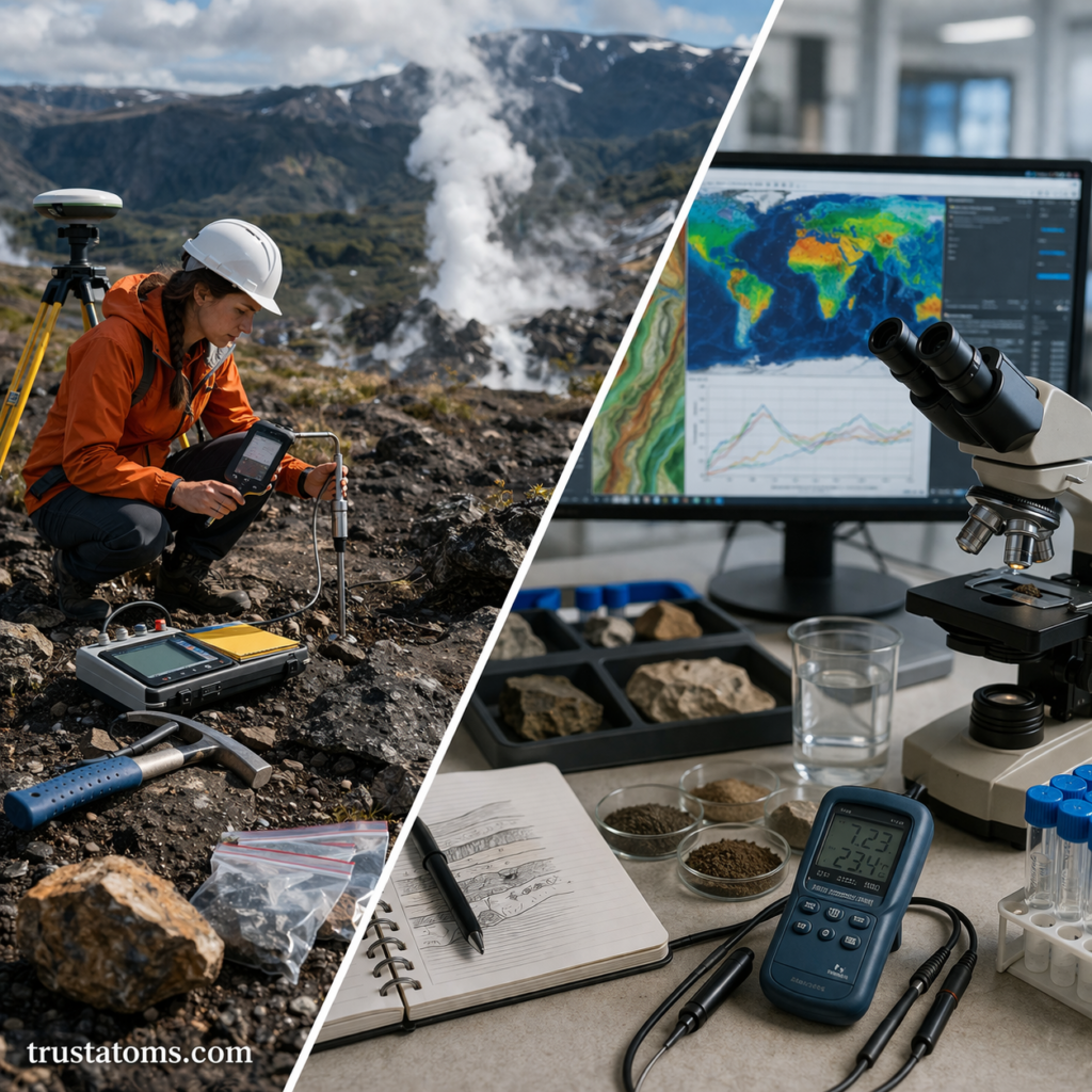
Direct Measurements and Sampling
Direct measurement involves recording a property using an appropriate instrument or collecting material for analysis. Examples include measuring air temperature, testing stream water, and examining rock samples. Consistent methods help scientists compare observations across locations and dates.
For a closer look at atmospheric observations, Weather Data Collection Techniques explains how measurements from different instruments contribute to reliable weather records.
Indirect Measurements and Remote Sensing
Indirect methods estimate properties that cannot be measured easily through direct observation. Seismic waves reveal information about Earth’s interior, while satellite sensors measure reflected or emitted electromagnetic radiation to investigate clouds, vegetation, and surface conditions.
Mapping and Geographic Information Systems
Geographic Information Systems, or GIS, organize spatial data into layers that can be compared and analyzed. Scientists may combine elevation, rainfall, geology, and land-use information to examine erosion, flood exposure, or environmental change.
Computer Models and Simulations
Computer models use mathematical equations and observational data to represent physical processes. Weather models estimate future atmospheric conditions, while geological models can simulate ground movement or groundwater flow. Their predictions depend on assumptions, input data, and the processes represented.
A Practical Example of Measuring Rainfall
Imagine a school recording rainfall with a properly installed rain gauge. If the gauge collects 12 millimeters of rain during one day, that represents a water depth of 12 millimeters over a level surface, assuming the rainfall is evenly distributed.
One millimeter of rainfall corresponds to approximately one liter of water per square meter. Therefore, 12 millimeters represents about 12 liters per square meter. Students could compare daily measurements with nearby weather stations to investigate how rainfall varies across their community.
For meaningful comparisons, the gauge should be positioned away from obstructions and measured at consistent times. Wind, splashing, and instrument placement can introduce errors.
How Scientists Improve Measurement Accuracy
Every measurement contains some uncertainty. Accuracy describes how closely a result approaches the true value, while precision describes how consistently repeated measurements agree with one another.
Scientists improve data quality through calibration, repeated observations, standardized procedures, and comparisons with independent instruments. They also record measurement units, collection times, locations, and equipment conditions so results can be interpreted correctly.
A highly precise instrument can still produce inaccurate results if it is incorrectly calibrated. Likewise, a large dataset does not automatically eliminate systematic errors.
How Modern Technology Is Changing Earth Science
Improved satellite sensors, automated monitoring stations, and high-resolution mapping tools allow scientists to observe changes across wider areas and shorter intervals. Drones can document difficult terrain, while machine-learning methods can help identify patterns in large datasets.
These advances are useful for monitoring earthquakes, tracking storms, studying climate trends, and managing natural resources. However, automated results still require validation against observations and an understanding of the underlying physical processes.
Frequently Asked Questions
What tools do Earth scientists use most often?
The tools depend on the field. Geologists commonly use mapping equipment and rock examination tools, meteorologists use weather instruments and radar, and oceanographers use sonar and water sensors. Computers and geographic data systems are widely used across disciplines.
What is the difference between direct and indirect measurement?
Direct measurement records a property or examines a collected sample, while indirect measurement uses observable signals to infer a property that is difficult to measure directly. Seismic waves, for example, help scientists investigate structures deep inside Earth.
Can satellites replace measurements taken on the ground?
No. Satellites provide broad geographic coverage, but ground instruments and field observations are often needed to calibrate, validate, and interpret their measurements. Combining multiple sources generally produces more reliable results.
Earth science measurements turn observations of rocks, water, air, and landscapes into evidence that scientists can analyze and compare. Reliable results depend on choosing suitable instruments, documenting methods, and accounting for uncertainty. By combining fieldwork, laboratory analysis, remote sensing, and computer models, researchers can better understand environmental changes and assess natural hazards.
Sources: U.S. Geological Survey, Science and Monitoring Programs; National Oceanic and Atmospheric Administration, National Centers for Environmental Information; World Meteorological Organization, Guide to Instruments and Methods of Observation.