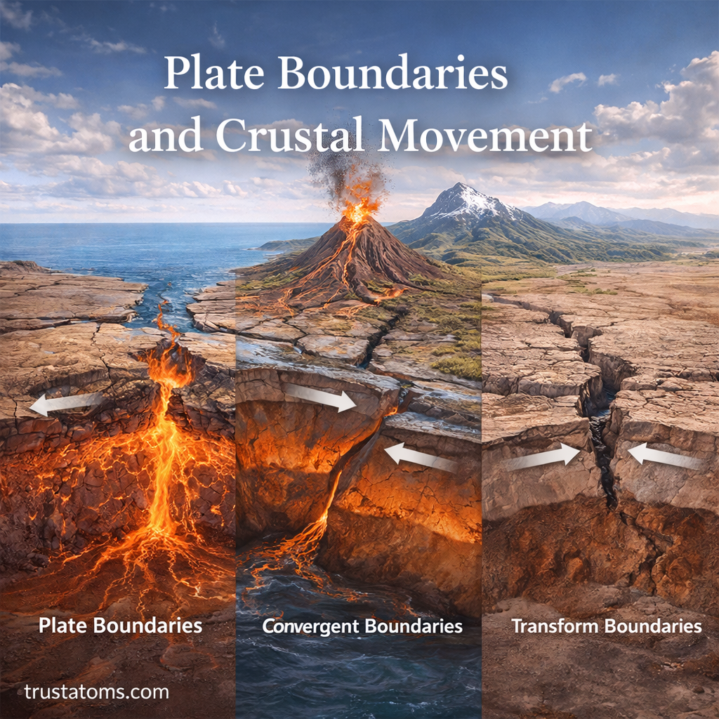
Plate boundaries are places where sections of Earth’s outer rocky shell meet and move apart, collide, or slide past one another. These movements reshape the crust, producing earthquakes, volcanic activity, mountain ranges, and new ocean basins over geological time.
Most plate movement is too slow to notice directly, but its accumulated effects can transform entire landscapes. Understanding these processes is part of Earth science, which examines the physical systems and geological forces that shape our planet.
What Are Tectonic Plates?
Earth’s surface is not a single solid shell—it is divided into large pieces called tectonic plates. These plates are constantly moving, though very slowly, driven by forces deep within the planet.
Each plate consists of lithosphere, the rigid outer layer containing Earth’s crust and uppermost mantle. Beneath it lies the asthenosphere, a hotter, mechanically weaker region of the mantle that can deform slowly over long periods. Plates move over this underlying material rather than floating on a liquid ocean of molten rock.
Some plates carry both continents and ocean basins, while others consist mainly of oceanic lithosphere. The Pacific, North American, Eurasian, and African plates are among the large plates described in Earth’s major tectonic plates.
What Drives Plate Movement?
Plate motion results from gravity-related forces and processes associated with heat escaping from Earth’s interior. Although mantle convection contributes to the broader system, scientists do not describe plates as simply riding on circular conveyor belts.
Three mechanisms help explain plate movement:
- Slab pull: Cold, dense oceanic lithosphere sinks into the mantle at subduction zones, pulling the connected plate toward the boundary.
- Ridge push: Gravity helps move oceanic lithosphere away from elevated mid-ocean ridges as it cools and thickens.
- Mantle flow: Slow deformation and circulation within the mantle interact with moving plates and influence their motion.
The broader explanation for these processes is developed in the theory of plate tectonics. Understanding the forces involved also helps researchers investigate plate boundary hazards, including earthquakes, volcanic eruptions, and tsunamis.
Types of Plate Boundaries
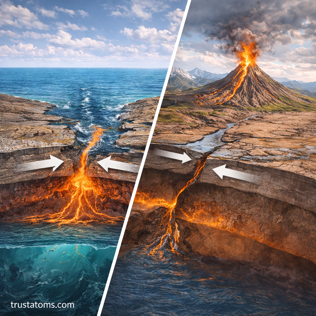
Geologists classify plate boundaries according to the direction in which neighboring plates move relative to each other. The three main categories are divergent, convergent, and transform boundaries, each associated with characteristic geological features. Their differences are examined further in transform, convergent, and divergent boundaries.
Divergent Boundaries: Plates Move Apart
Divergent boundaries form where neighboring plates separate. At mid-ocean ridges, hot mantle material rises and partially melts as pressure decreases. Magma cools to produce new oceanic crust, a process known as seafloor spreading.
The Mid-Atlantic Ridge is a major example. Divergence can also occur within continents, where stretching creates faults and rift valleys, as seen in the East African Rift system.
Convergent Boundaries: Plates Move Together
At convergent boundaries, plates move toward one another. The geological outcome depends on the type and density of the lithosphere involved.
- Oceanic–continental convergence: Dense oceanic lithosphere sinks beneath continental lithosphere, potentially forming trenches, volcanoes, and earthquakes.
- Oceanic–oceanic convergence: One oceanic plate subducts beneath another, sometimes producing volcanic island arcs.
- Continental–continental convergence: Buoyant continental crust resists deep subduction, causing compression, thickening, and mountain building.
The Andes illustrate oceanic–continental convergence, while the Himalayas formed through the collision of the Indian and Eurasian continental plates. These examples show why not every convergent boundary produces the same landscape.
Transform Boundaries: Plates Slide Past
Transform boundaries occur where plates move horizontally past one another. They generally neither create nor consume significant amounts of lithosphere, but friction can temporarily lock faults as stress accumulates.
When the accumulated stress exceeds the strength of a locked fault, sudden movement releases seismic energy. California’s San Andreas Fault is a well-known example of a transform plate boundary.
How Plate Boundaries Reshape Earth’s Crust
Plate interactions produce several recognizable geological processes. Their effects vary with plate composition, movement direction, temperature, and the history of the surrounding crust.
Earthquakes and Fault Movement
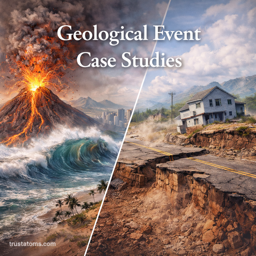
Earthquakes occur when rocks suddenly slip along faults and release stored elastic energy. They are common at all three major boundary types, although their depths and potential magnitudes differ. Subduction zones can generate especially powerful earthquakes, including events that displace the seafloor and trigger tsunamis.
Volcanoes and Magma Formation
Volcanic activity commonly occurs at divergent boundaries and subduction zones. At spreading ridges, decreasing pressure promotes mantle melting. At subduction zones, water and other materials released from the descending plate help lower the melting temperature of overlying mantle rock.
Mountain Building and Ocean Basins
Continental collisions can fold and thicken crust, producing elevated mountain belts. Meanwhile, seafloor spreading creates new oceanic crust and can widen ocean basins when the movement of surrounding plate boundaries allows it.
How Far Do Tectonic Plates Move?
Tectonic plates commonly move a few centimeters each year, although rates vary considerably. That may seem insignificant, but small annual changes accumulate over millions of years.
Imagine a plate moving steadily at 5 centimeters per year, approximately the length of a small paper clip. Over one million years, that movement would total 50 kilometers. Over 10 million years, it would reach 500 kilometers if its speed and direction remained unchanged.
Actual plate movements are more complicated because plates can accelerate, slow down, and change direction. Scientists measure present-day motion using satellite-based geodesy, including GPS, and reconstruct ancient movement from geological and magnetic evidence.
How Oceanic Crust Is Created and Recycled
Oceanic lithosphere is continuously created and recycled through plate tectonics. New crust forms at mid-ocean ridges, moves away as plates separate, and may eventually descend into the mantle at a subduction zone.
This process helps explain why oceanic crust is generally much younger than the oldest continental rocks. Continental crust is more buoyant and can preserve evidence of geological events over much longer periods, although it is also altered by erosion, deformation, and recycling.
How Scientists Monitor Plate Boundaries
Researchers use seismometers to locate earthquakes, GPS instruments to measure crustal movement, and satellite radar to detect subtle ground deformation. Ocean-floor mapping and geological field studies provide additional information about faults, spreading centers, and subduction zones.
These measurements help scientists identify areas exposed to geological hazards and estimate long-term earthquake probabilities. However, they cannot reliably predict the exact date, location, and magnitude of an individual earthquake.
Frequently Asked Questions
What is the difference between a tectonic plate and a plate boundary?
A tectonic plate is a moving section of Earth’s rigid lithosphere. A plate boundary is the zone where neighboring plates interact through separation, collision, or sideways movement. Most major earthquakes occur near these boundaries, although earthquakes can also happen within plates.
Which plate boundary causes the strongest earthquakes?
Convergent boundaries with large subduction zones can produce the strongest recorded earthquakes. These events occur when extensive sections of the boundary suddenly slip, releasing enormous amounts of accumulated energy. Transform and other boundary types can also produce destructive earthquakes.
Can tectonic plates stop moving?
Individual plate motions can change as tectonic forces evolve, and some boundaries eventually become inactive. However, Earth’s plate tectonic system remains active because the planet continues losing internal heat and its lithosphere responds to gravitational and mantle-related forces.
Plate boundaries explain why earthquakes cluster along certain regions, why volcanic chains follow some continental margins, and why mountain ranges rise where continents collide. Although plate motion usually occurs only centimeters at a time, its accumulated effects continually reshape Earth’s crust and leave geological records that scientists can measure and interpret.
Sources: United States Geological Survey, This Dynamic Earth: The Story of Plate Tectonics; National Park Service, Plate Tectonics; British Geological Survey, Plate Tectonics.