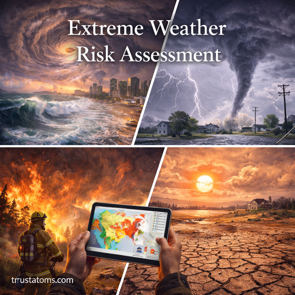
Extreme weather events—such as hurricanes, floods, droughts, heatwaves, and severe storms—pose significant risks to people, infrastructure, and ecosystems. As these events become more frequent and intense in some regions, understanding how to assess risk is essential for preparedness and resilience.
This guide explains what extreme weather risk assessment is, how it works, and how individuals, communities, and organizations can reduce potential impacts.
What Is Extreme Weather Risk Assessment?
Extreme weather risk assessment is the process of identifying, analyzing, and evaluating the potential impacts of severe weather events.
It helps answer key questions:
- What hazards are likely to occur?
- Who or what is exposed to those hazards?
- How vulnerable are people, systems, or environments?
- What is the potential level of damage or loss?
Risk assessment combines scientific data, historical records, and predictive modeling to estimate future threats.
The Three Core Components of Risk
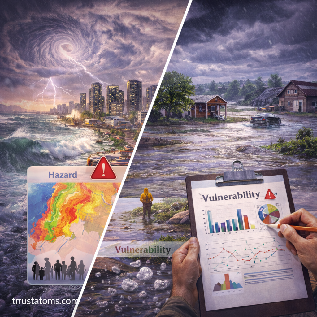
Risk is typically defined by three interacting factors:
1. Hazard
The extreme weather event itself, such as:
- Hurricanes
- Floods
- Wildfires
- Heatwaves
- Tornadoes
Each hazard has unique characteristics, including intensity, duration, and geographic reach.
2. Exposure
Exposure refers to the people, property, and systems located in areas affected by hazards.
Examples include:
- Coastal cities exposed to storm surge
- Homes in floodplains
- Farms in drought-prone regions
3. Vulnerability
Vulnerability measures how susceptible something is to damage.
Factors influencing vulnerability:
- Building quality and infrastructure
- Economic resources
- Emergency preparedness
- Population density
Risk increases when high hazard, high exposure, and high vulnerability overlap.
Types of Extreme Weather Considered in Risk Assessments
Risk assessments evaluate a wide range of weather-related hazards.
Meteorological Events
- Severe thunderstorms
- Tornadoes
- Derechos
- Hailstorms
Hydrological Events
- River flooding
- Flash flooding
- Storm surge
Climatological Events
- Droughts
- Wildfires
Temperature Extremes
- Heatwaves
- Cold waves
Each category requires different methods of analysis and mitigation strategies.
How Risk Assessment Is Conducted
Assessing extreme weather risk involves several structured steps.
1. Hazard Identification
- Analyze historical weather data
- Identify patterns and trends
- Determine likely future events
2. Exposure Analysis
- Map populations and infrastructure
- Identify critical assets (hospitals, power grids, roads)
3. Vulnerability Assessment
- Evaluate building resilience
- Assess emergency response capacity
- Identify at-risk populations
4. Risk Estimation
- Combine hazard, exposure, and vulnerability data
- Estimate potential impacts (economic, social, environmental)
5. Risk Mapping
- Use geographic information systems (GIS)
- Create visual maps of high-risk areas
Tools and Technologies Used
Modern risk assessment relies on advanced tools and data systems.
Common Tools
- Satellite imagery for weather monitoring
- Weather radar systems
- Climate models and simulations
- Geographic Information Systems (GIS)
Data Sources
- Historical weather records
- Population and infrastructure data
- Environmental and land-use data
These tools allow for more accurate predictions and better planning.
The Role of Climate Change
Climate change is altering extreme weather patterns, making risk assessment more complex.
Key Impacts
- Increased frequency of heatwaves
- More intense rainfall events
- Rising sea levels increasing flood risk
- Shifts in storm patterns
As a result, historical data alone is no longer sufficient—future projections must be included in risk models.
Real-World Applications of Risk Assessment
Extreme weather risk assessment is used across multiple sectors.
Urban Planning
- Designing flood-resistant infrastructure
- Avoiding development in high-risk areas
Emergency Management
- Developing evacuation plans
- Allocating resources for disaster response
Insurance Industry
- Setting premiums based on risk levels
- Estimating potential losses
Agriculture
- Planning crops based on climate risk
- Managing water resources
Strategies to Reduce Risk
Reducing risk involves both mitigation (preventing damage) and adaptation (adjusting to conditions).
Infrastructure Improvements
- Strengthening buildings and roads
- Building levees and flood barriers
- Improving drainage systems
Policy and Planning
- Land-use regulations
- Building codes for resilience
- Climate adaptation strategies
Community Preparedness
- Public education campaigns
- Emergency drills and planning
- Early warning systems
Environmental Solutions
- Wetland restoration to absorb floodwaters
- Reforestation to reduce erosion
- Sustainable water management
Challenges in Risk Assessment
Despite advancements, several challenges remain.
Uncertainty in Forecasting
- Weather systems are complex and dynamic
- Long-term predictions involve uncertainty
Data Limitations
- Incomplete historical records in some regions
- Lack of high-resolution local data
Rapid Urbanization
- Expanding cities increase exposure
- Infrastructure may not keep up with growth
Inequality in Vulnerability
- Low-income communities often face higher risks
- Limited access to resources increases impact
Why Extreme Weather Risk Assessment Matters
Risk assessment is critical because it:
- Saves lives through better preparedness
- Reduces economic losses
- Guides infrastructure investment
- Supports sustainable development
It provides a framework for making informed decisions in a changing climate.
Final Thoughts
Extreme weather risk assessment is an essential tool for understanding and managing the growing challenges posed by severe weather events. By analyzing hazards, exposure, and vulnerability, scientists and decision-makers can better predict impacts and develop strategies to reduce risk.
As climate patterns continue to evolve, improving risk assessment methods will remain a key priority for protecting communities and building resilience worldwide.