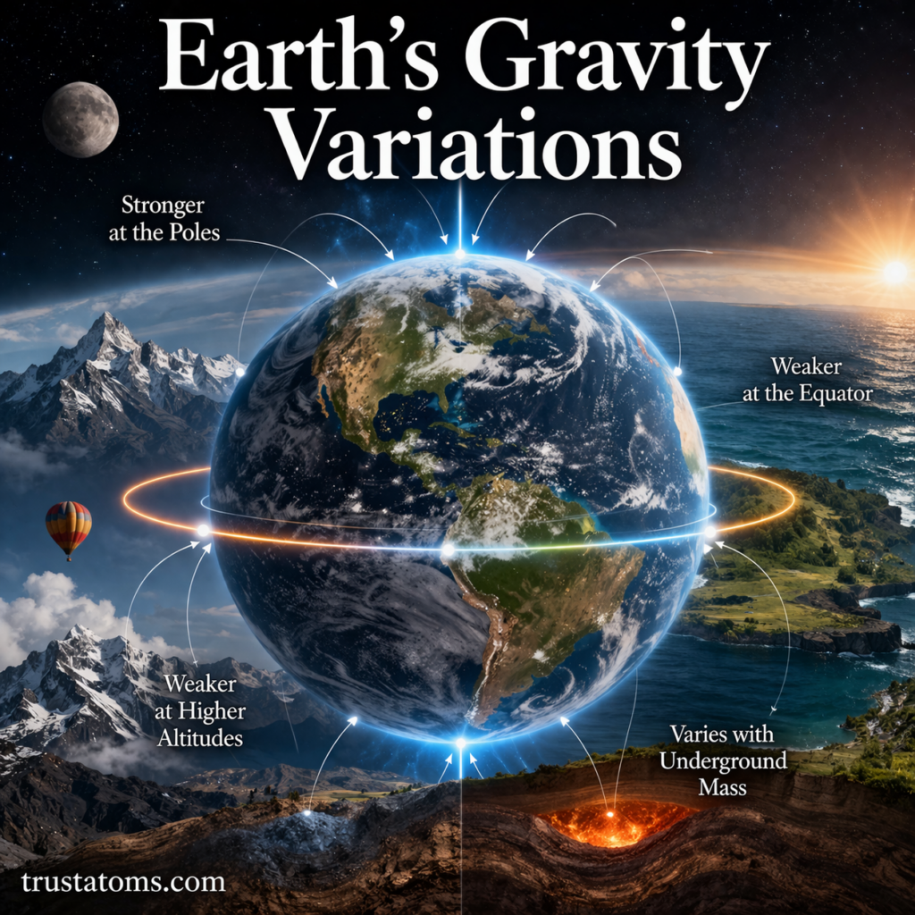
Earth’s gravity varies slightly from place to place because the planet is not a perfect sphere, it rotates, and its mass is distributed unevenly. Gravity is generally stronger near the poles, weaker near the equator, and slightly reduced at higher elevations, while underground density differences create additional local variations.
Although these differences are too small for most people to notice, scientists can measure them with highly sensitive instruments. Studying gravity variations is an important part of Earth science because the measurements reveal information about Earth’s interior, changing ice sheets, and ocean circulation.
Gravity measurements also help distinguish the effects of Earth’s overall shape from smaller changes caused by mountains, buried rock formations, and movements of water.
What Is Gravity and How Is It Measured?
Gravity is the attractive force between objects with mass. Earth’s mass produces the gravitational field that keeps objects near its surface and gives them weight.
Gravitational acceleration describes how quickly an object speeds up when falling freely under gravity, ignoring air resistance. Near Earth’s surface, its commonly used standard value is 9.80665 meters per second squared (m/s²), often rounded to 9.8 m/s².
This standard value is useful for calculations, but actual gravitational acceleration differs slightly by location. It depends on distance from Earth’s center, the distribution of surrounding mass, and the effects of Earth’s rotation.
Why Gravity Is Stronger at the Poles
Earth is shaped approximately like an oblate spheroid, meaning it bulges around the equator and is slightly flattened at the poles. Its equatorial radius is about 21 kilometers greater than its polar radius.
Because the poles are closer to Earth’s center, gravitational attraction is generally stronger there. The equatorial bulge places locations near the equator farther from the center, contributing to weaker gravitational acceleration.
Earth’s rotation produces another difference. Together, the planet’s shape and rotation explain most of the predictable change in surface gravity between the equator and poles.
How Earth’s Rotation Reduces Effective Gravity
As Earth rotates, objects on its surface move in circles around the planet’s rotational axis. Maintaining this circular motion requires inward acceleration, which affects the downward acceleration measured relative to the rotating surface.
This effect is commonly described as centrifugal acceleration in Earth’s rotating reference frame. It opposes part of the gravitational pull and is strongest at the equator, where rotational speed is greatest.
At the poles, the distance from the rotational axis is essentially zero, so the centrifugal effect vanishes. Consequently, effective gravity is higher at the poles than at the equator.
Comparing Gravity at the Equator and Poles
The difference in gravitational acceleration can be expressed using approximate values for sea-level locations on a reference Earth model.
| Location | Approximate gravity |
|---|---|
| Equator | 9.780 m/s² |
| 45° latitude | 9.806 m/s² |
| Poles | 9.832 m/s² |
For a concrete example, consider a person with a mass of 70 kilograms. Their weight would be approximately 684.6 newtons at the equator and 688.2 newtons at a pole, a difference of about 3.6 newtons.
The person’s mass would remain 70 kilograms in both places. Only their weight, which depends on local gravitational acceleration, would change. The difference is roughly half a percent and would not be noticeable in ordinary daily activities.
Why Gravity Decreases With Altitude
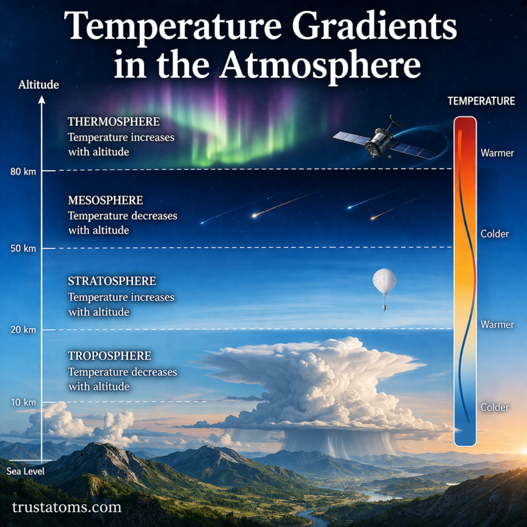
Gravitational attraction generally weakens as distance from Earth’s center increases. Therefore, an object at the top of a mountain experiences slightly less gravitational acceleration than it would at a lower elevation, all else being equal.
For a simplified spherical Earth, gravitational acceleration decreases approximately with the square of the distance from the planet’s center. This relationship follows Newton’s law of universal gravitation.
Real measurements are more complicated because mountains contain additional mass that also exerts gravitational attraction. Scientists account for both elevation and surrounding terrain when interpreting local gravity readings.
How Underground Rocks Create Gravity Anomalies
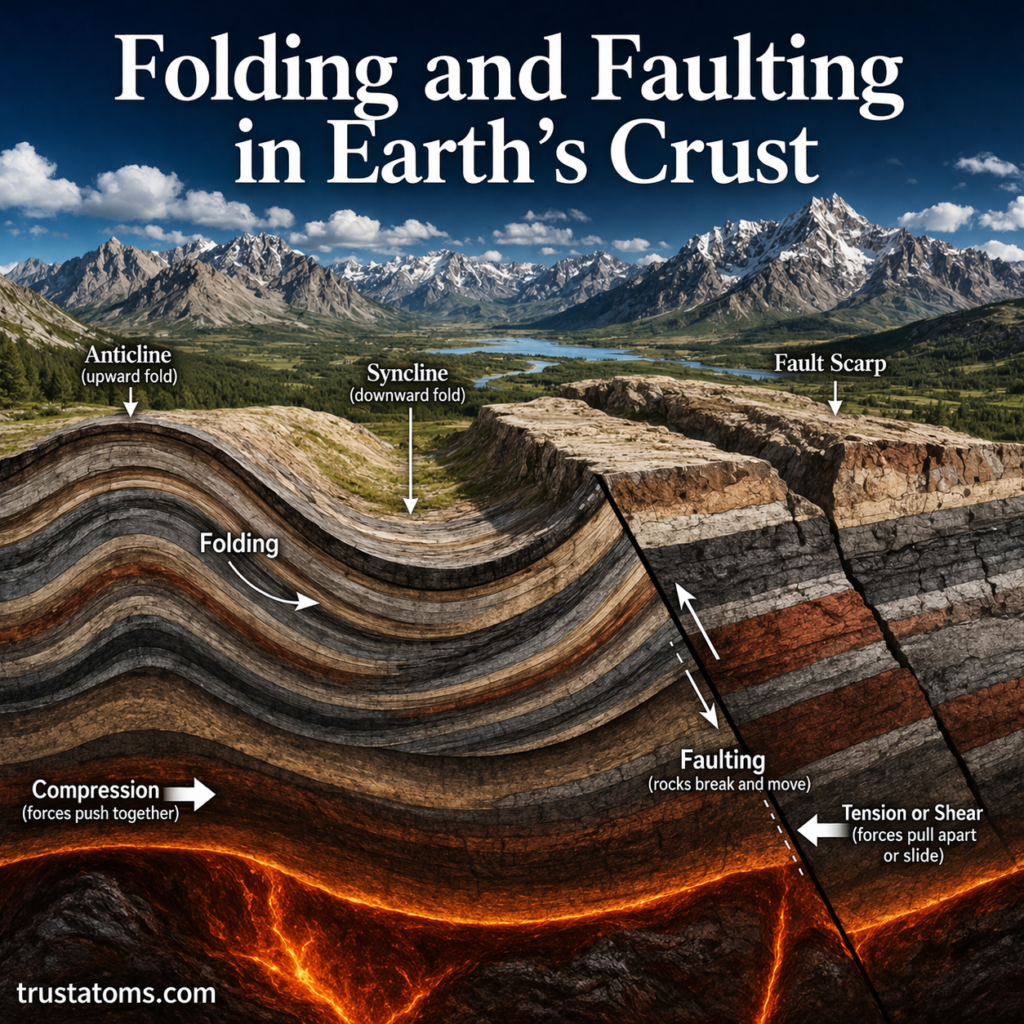
Earth’s interior contains materials with different densities. Dense rock formations, buried structures, sedimentary basins, and variations in crustal thickness can produce small differences in the gravitational field.
These differences are called gravity anomalies when they are measured relative to an expected reference value after appropriate corrections.
For example, a dense underground rock body may produce a positive gravity anomaly, while a basin filled with relatively low-density sediment may produce a negative anomaly. The observed signal depends on the object’s size, depth, shape, and density contrast with surrounding material.
Mountain ranges demonstrate why gravity measurements require careful interpretation. Although mountains add mass above the surrounding landscape, their deep crustal roots may consist of relatively low-density material, partly offsetting the gravitational effect of the visible mountains.
How the Moon and Sun Affect Local Gravity
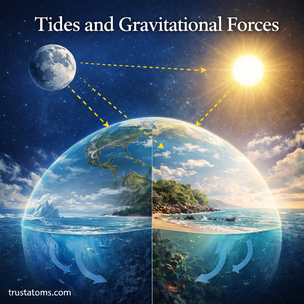
The Moon and Sun exert gravitational forces on Earth. Differences in these forces across the planet produce tidal effects in the oceans and small deformations of the solid Earth.
These tidal changes also cause subtle variations in measured gravity at a particular location. Sensitive instruments can detect them over periods of hours and days.
Scientists account for predictable tidal effects when analyzing gravity surveys so that temporary variations are not mistaken for permanent underground structures.
How Scientists Measure Gravity Variations
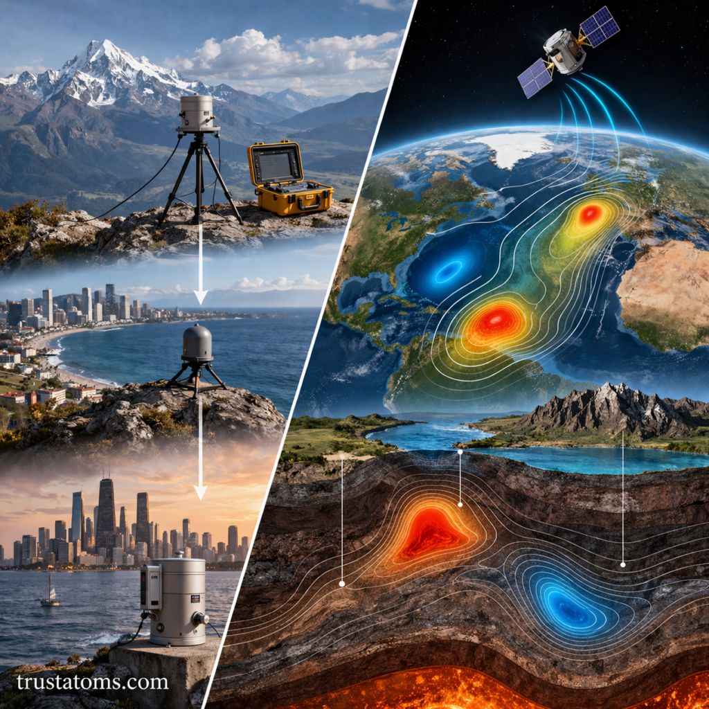
Scientists measure gravity using gravimeters, which detect extremely small changes in gravitational acceleration. Some instruments measure absolute gravity, while others measure differences between locations or changes over time.
Gravity surveys commonly use the gal, a unit equal to one centimeter per second squared. Small anomalies are often expressed in milligals (mGal), where one milligal equals 0.00001 m/s².
Satellite missions provide another approach. NASA’s GRACE and GRACE Follow-On missions measure changes in the distance between paired satellites, allowing scientists to investigate variations in Earth’s gravity field associated with shifting masses of water and ice.
Combining satellite data with ground measurements provides a more complete picture than either method alone.
What Gravity Measurements Reveal About Earth
Gravity measurements have several scientific and practical applications:
- Geological mapping: Gravity anomalies help identify buried rock formations, sedimentary basins, and changes in crustal structure.
- Resource exploration: Geophysical surveys can help locate structures associated with mineral deposits and energy resources.
- Ice sheet monitoring: Satellite gravity observations help estimate changes in the mass of large ice sheets.
- Water storage: Changes in terrestrial water mass can reveal broad patterns of groundwater depletion, flooding, and drought.
- Ocean circulation: Gravity field measurements help determine the geoid, a reference surface used to study ocean surface height and currents.
Gravity measurements do not always identify a unique underground structure. Scientists often combine them with seismic data, geological maps, and other observations to distinguish between possible explanations.
Frequently Asked Questions
Where on Earth is gravity strongest?
Gravity is generally stronger near the poles than near the equator because of Earth’s shape and rotation. However, local variations in rock density, elevation, and mass distribution mean the strongest measured gravity does not necessarily occur exactly at either geographic pole.
Does your weight change when you travel to another location?
Yes. Weight depends on local gravitational acceleration, so it changes slightly with latitude and elevation. Your mass remains the same, even though the gravitational force acting on you differs.
Can gravity measurements detect underground water?
Yes. Changes in groundwater storage alter the distribution of mass beneath Earth’s surface, producing small gravity changes. Sensitive ground instruments and satellite missions can detect some of these changes, although interpretation requires additional measurements and corrections.
Earth’s gravity varies because its shape, rotation, elevation, and internal mass distribution affect the gravitational acceleration measured at different locations. By detecting these small differences, scientists can investigate buried geological structures and track changes in water, ice, and other components of the Earth system.
Sources: National Geospatial-Intelligence Agency, Department of Defense World Geodetic System 1984; NASA Jet Propulsion Laboratory, GRACE and GRACE Follow-On mission resources; National Oceanic and Atmospheric Administration (NOAA), National Geodetic Survey.