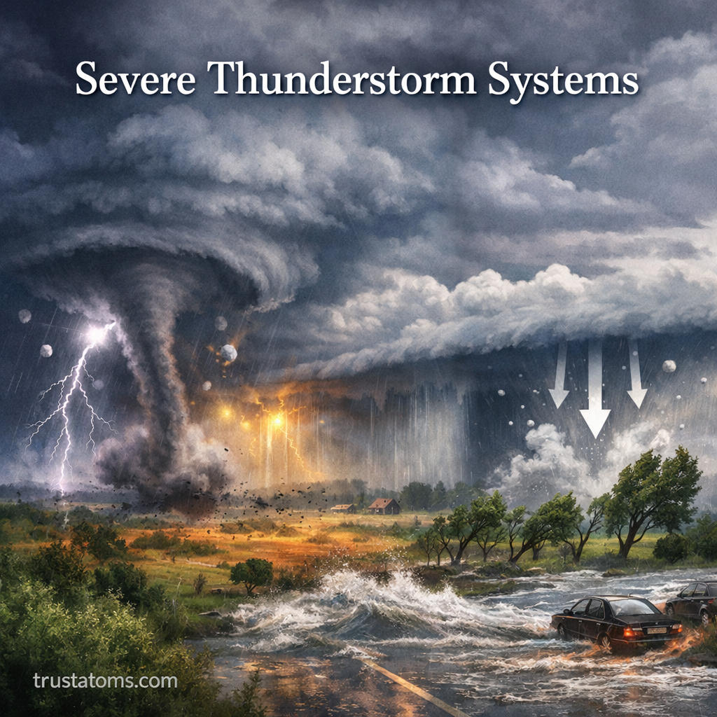
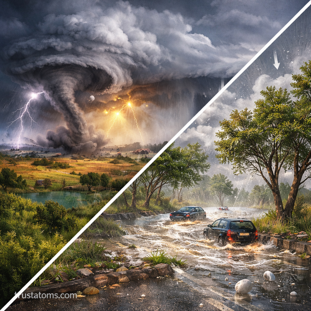
Severe thunderstorm systems are among the most powerful and dynamic weather events on Earth. They can produce damaging winds, large hail, intense lightning, flash flooding, and even tornadoes. Understanding how these systems form and behave helps improve forecasting, safety, and preparedness.
This guide breaks down the science behind severe thunderstorms, the different types of systems, and the impacts they can have on people and the environment.
What Is a Severe Thunderstorm?
A thunderstorm is classified as “severe” when it meets specific criteria established by meteorological agencies. These typically include:
- Wind gusts of at least 58 mph (93 km/h)
- Hail with a diameter of 1 inch (2.5 cm) or larger
- The presence of a tornado
Severe thunderstorms are powered by strong updrafts—rising columns of warm, moist air that fuel storm development.
How Severe Thunderstorms Form
Severe thunderstorms require three key ingredients:
1. Moisture
Warm, humid air near the surface provides the fuel for storm development. Regions with high humidity, especially during warmer months, are more prone to severe storms.
2. Instability
Instability occurs when warm air near the surface rises rapidly into cooler air above. This creates strong vertical motion, which is essential for thunderstorm growth.
3. Lift
Lift is the mechanism that triggers rising air. Common sources include:
- Cold fronts
- Warm fronts
- Drylines
- Terrain (mountains forcing air upward)
When these ingredients combine, towering cumulonimbus clouds can develop, leading to severe weather.
Types of Severe Thunderstorm Systems
Not all thunderstorms are the same. Severe storms can organize into different structures depending on atmospheric conditions.
Single-Cell Thunderstorms
- Short-lived (typically less than 1 hour)
- Usually weak but can briefly become severe
- Common in summer afternoons
Multi-Cell Clusters
- Groups of storms at different stages of development
- Can produce repeated heavy rainfall and localized flooding
- Often evolve into larger systems
Squall Lines
- Long lines of thunderstorms, often ahead of cold fronts
- Produce widespread damaging winds
- Can stretch hundreds of miles
Supercells
- The most dangerous type of thunderstorm
- Characterized by a rotating updraft (mesocyclone)
- Capable of producing large hail, strong tornadoes, and intense winds
Supercells are responsible for many of the most destructive severe weather events.
Key Features of Severe Thunderstorms
Severe thunderstorms are defined by several powerful and often hazardous features:
Strong Updrafts and Downdrafts
- Updrafts carry moisture and energy upward
- Downdrafts bring rain-cooled air downward, often producing strong surface winds
Lightning
Lightning forms due to electrical charge separation within the storm cloud. Severe storms can produce frequent and dangerous lightning strikes.
Hail Formation
Hail develops when strong updrafts carry water droplets high into freezing levels, where they form ice and grow in layers before falling.
Gust Fronts
A gust front is the leading edge of cool air rushing out from a storm. It can produce sudden, strong winds and trigger new storms.
Hazards Associated with Severe Thunderstorms
Severe thunderstorms pose multiple risks, sometimes simultaneously.
Damaging Winds
- Can exceed hurricane-force speeds in extreme cases
- Cause structural damage, fallen trees, and power outages
Large Hail
- Damages crops, vehicles, and roofs
- Can cause injury to people and animals
Flash Flooding
- Heavy rainfall over short periods overwhelms drainage systems
- Especially dangerous in urban areas and dry regions
Tornadoes
- Violently rotating columns of air extending from the storm
- Capable of extreme destruction in localized areas
Where Severe Thunderstorms Are Most Common
Severe thunderstorms occur worldwide but are especially frequent in certain regions.
- The central United States, often called “Tornado Alley”
- Parts of South America, including Argentina
- Central Africa
- South and Southeast Asia
These regions often combine warm, moist air with strong atmospheric instability and wind shear.
The Role of Wind Shear
Wind shear refers to changes in wind speed or direction with height.
- Low wind shear: storms remain disorganized
- Strong wind shear: storms become more structured and longer-lasting
Wind shear is a critical factor in the formation of supercells and tornadoes.
How Meteorologists Predict Severe Thunderstorms
Forecasting severe weather involves analyzing multiple atmospheric factors:
Tools and Techniques
- Weather radar to detect precipitation and rotation
- Satellites to monitor cloud development
- Weather balloons to measure temperature, humidity, and wind profiles
Key Indicators
- High instability (CAPE values)
- Strong wind shear
- Presence of lifting mechanisms like fronts
Meteorologists issue watches and warnings to alert the public when severe weather is likely or imminent.
Safety Tips During Severe Thunderstorms
Knowing what to do during a severe storm can significantly reduce risk.
Before the Storm
- Monitor weather forecasts and alerts
- Secure outdoor objects
- Prepare an emergency kit
During the Storm
- Stay indoors and away from windows
- Avoid using electrical appliances
- Do not seek shelter under trees
After the Storm
- Watch for downed power lines
- Avoid flooded areas
- Check for structural damage before re-entering buildings
Why Severe Thunderstorms Matter
Severe thunderstorms play an important role in Earth’s climate system by:
- Redistributing heat and moisture
- Influencing local and regional weather patterns
- Contributing to the water cycle
However, their destructive potential makes them one of the most closely monitored natural hazards.
Final Thoughts
Severe thunderstorm systems are complex and powerful weather phenomena driven by the interaction of moisture, instability, and atmospheric dynamics. From short-lived storms to massive supercells, these systems can produce a wide range of hazards that impact millions of people each year.
Understanding how they form and behave not only deepens our knowledge of Earth science but also helps improve safety and preparedness in the face of extreme weather.