Seafloor Landslides and Coastal Risk: Hidden Hazards Beneath the Ocean

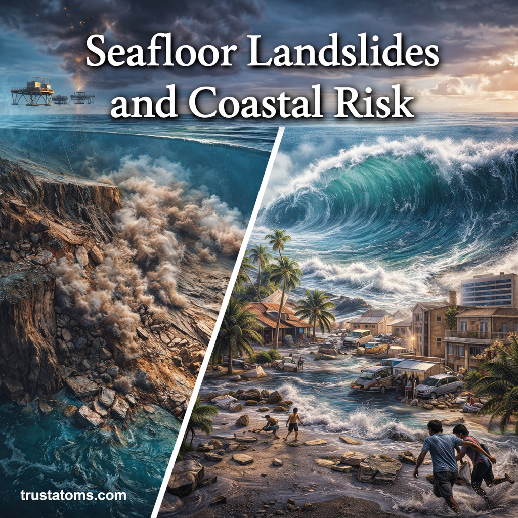
Illustration of seafloor landslide underwater and tsunami wave impacting a coastal town.
Illustration showing how seafloor landslides can trigger tsunamis and impact coastal communities.

Seafloor landslides occur when sediment, rock, or debris suddenly moves downslope beneath the ocean, potentially damaging underwater infrastructure and generating dangerous tsunamis. These hidden hazards develop when underwater slopes become unstable because of earthquakes, sediment buildup, geological changes, or disturbances to the seafloor.

Beneath the ocean surface lies a threat closely related to landslides on land, but with the added danger of water displacement. Underwater slope failures can reshape the ocean floor, damage infrastructure, and even trigger devastating tsunamis. In Earth science, studying these events helps explain the connection between seafloor geology and coastal risk.

Continue reading “Seafloor Landslides and Coastal Risk: Hidden Hazards Beneath the Ocean”
Historic Volcanic Eruptions: Powerful Events That Shaped Earth and Civilization

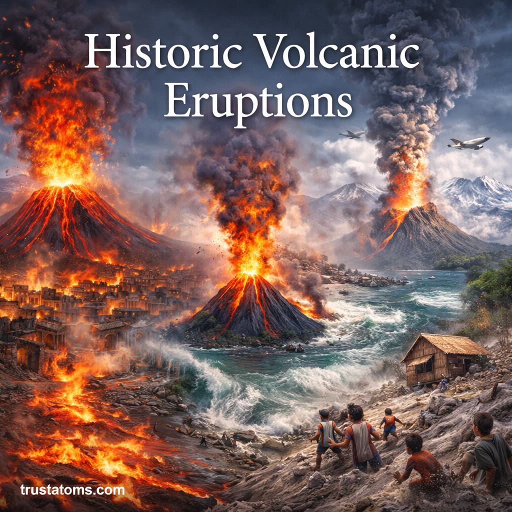
Illustration of historic volcanic eruptions with erupting volcanoes, lava flows, ash clouds, and coastal impact scenes.
Historic volcanic eruptions have produced destructive lava flows, ash clouds, and coastal hazards while sometimes affecting weather and climate far from the volcano.

Historic volcanic eruptions have reshaped landscapes, destroyed settlements, disrupted transportation, and temporarily altered Earth’s climate. Events such as the 79 CE eruption of Mount Vesuvius and the 1991 eruption of Mount Pinatubo show how volcanic hazards can affect both nearby communities and distant regions.

Volcanic eruptions are among the most dramatic natural events on Earth. They can reshape landscapes, alter climates, and affect human history in profound ways. Studying these events is part of Earth science, connecting processes beneath Earth’s surface with changes in the atmosphere, environment, and human societies.

Continue reading “Historic Volcanic Eruptions: Powerful Events That Shaped Earth and Civilization”

Historic Major Earthquakes: Events That Shaped Our Understanding of the Earth

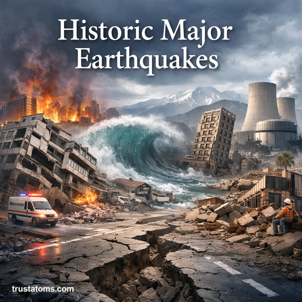
Illustration showing historic major earthquakes with collapsing buildings, tsunami wave, and disaster scenes.
Major earthquakes can cause destructive ground shaking, building failures, landslides, and tsunamis that affect communities far beyond the epicenter.

Historic major earthquakes have transformed our understanding of Earth’s moving tectonic plates, seismic hazards, and the engineering needed to protect communities. By studying events such as the 1906 San Francisco earthquake and the 1960 Chile earthquake, scientists have improved fault mapping, earthquake measurement, tsunami warnings, and building design.

Earthquakes are among the most powerful natural forces on our planet. Throughout history, major seismic events have reshaped landscapes, influenced civilizations, and advanced scientific understanding of how Earth works. Studying these disasters is an important part of Earth science, connecting geological processes with human safety.

Continue reading “Historic Major Earthquakes: Events That Shaped Our Understanding of the Earth”

Plate Boundary Hazards

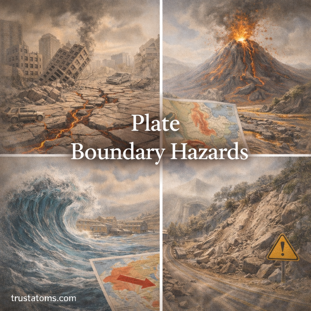
Illustration of plate boundary hazards showing earthquake damage, volcanic eruption, tsunami wave, and landslide.
Plate boundary hazards including earthquakes, volcanoes, tsunamis, and landslides.

Plate boundary hazards are geological dangers caused by the movement and interaction of Earth’s tectonic plates, including earthquakes, volcanic eruptions, tsunamis, and landslides. These hazards occur most frequently where plates collide, separate, or slide past one another, although their severity depends on local geology and the type of plate boundary.

Understanding where these hazards occur helps scientists assess risks and communities prepare for damaging events. Their causes are studied in Earth science, which examines the physical processes shaping Earth’s crust, oceans, and landscapes.

Continue reading “Plate Boundary Hazards”

Geological Hazard Mapping

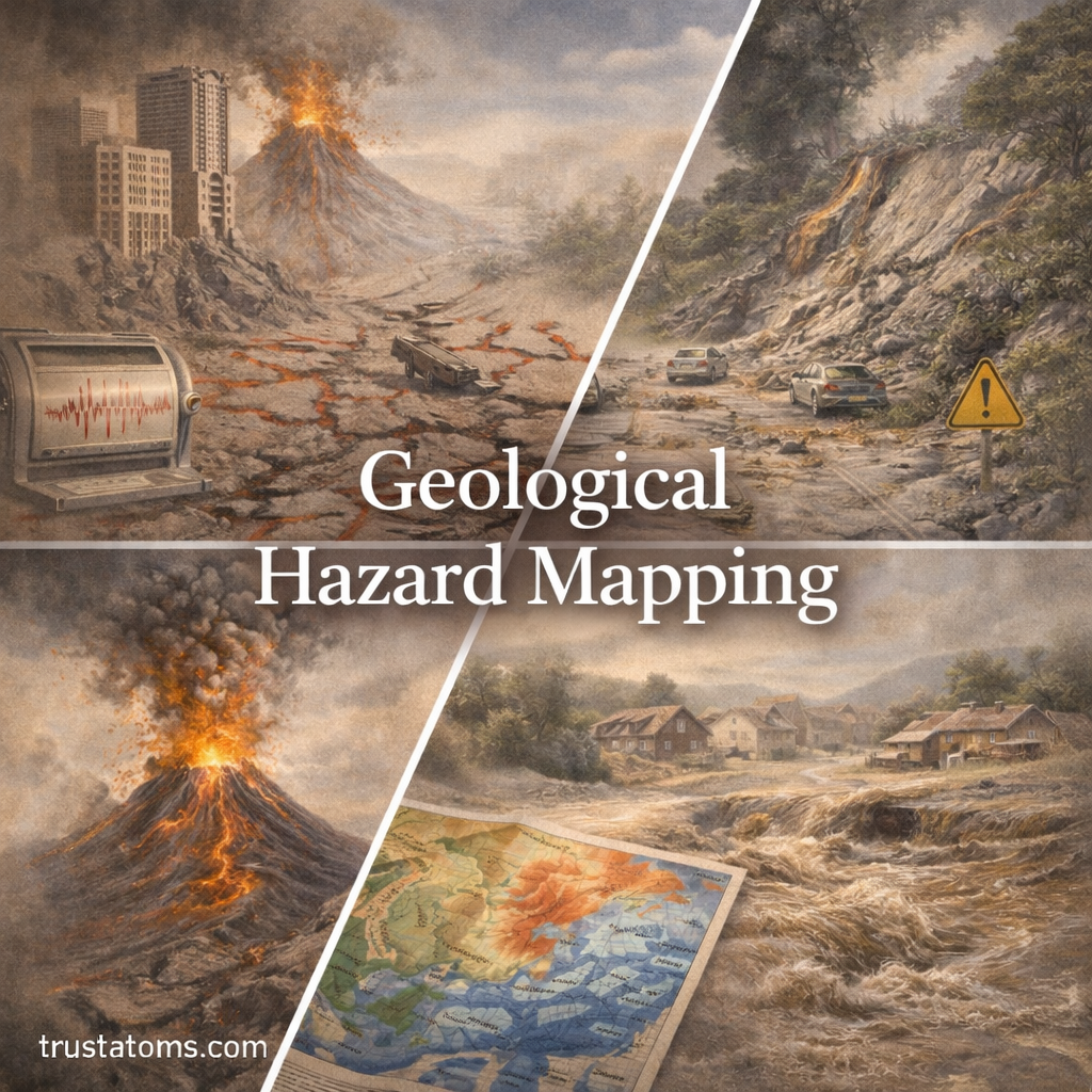
Illustration of geological hazard mapping showing earthquakes, landslides, volcanic eruptions, and flood risk areas.
Geological hazard maps identify locations potentially exposed to earthquakes, landslides, volcanic activity, and flooding.

Geological hazard mapping is the process of identifying and displaying areas that may be affected by earthquakes, landslides, volcanic eruptions, and related natural hazards. Scientists combine geological observations, historical records, terrain measurements, and computer models to estimate where hazardous events may occur and how severe their effects could be.

These maps help engineers, emergency planners, and residents make decisions about construction, land use, and evacuation. As an application of Earth science, hazard mapping translates observations of Earth’s processes into practical information about potentially dangerous locations.

Continue reading “Geological Hazard Mapping”

Volcanic Ash and Atmospheric Effects

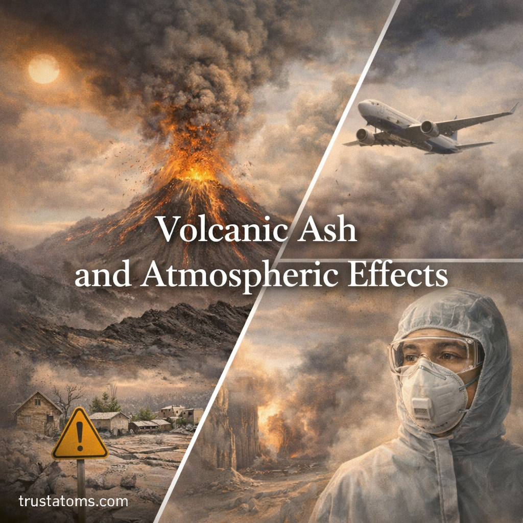
Illustration of volcanic ash eruption showing ash cloud, aircraft in atmosphere, and environmental impact on nearby areas.
Explosive eruptions can send volcanic ash high into the atmosphere, creating hazards for aircraft, air quality, and communities downwind.

Volcanic ash affects the atmosphere by forming airborne clouds of tiny rock and glass particles that reduce visibility, scatter sunlight, and threaten aircraft and respiratory health. Large eruptions can also influence climate, although longer-lasting global cooling comes mainly from sulfate aerosols formed from volcanic gases rather than from ash itself.

Wind can carry fine ash hundreds or thousands of kilometers from an eruption, exposing communities far beyond the volcano. Understanding these effects connects geology, atmospheric circulation, and environmental hazards, making volcanic ash an important subject within Earth science.

Continue reading “Volcanic Ash and Atmospheric Effects”

Earthquake Preparedness Strategies

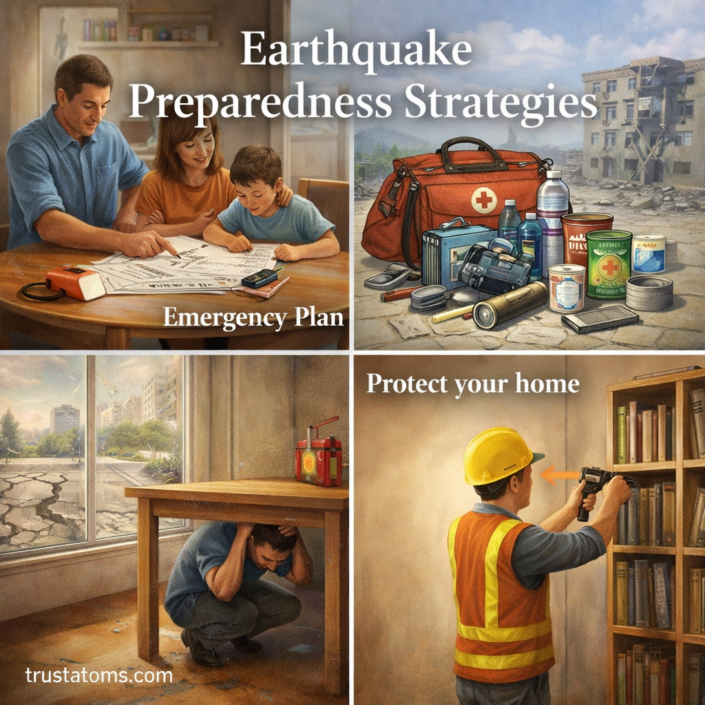
Illustration showing earthquake preparedness strategies including emergency planning, safety supplies, taking cover, and securing furniture.
Illustration of earthquake preparedness strategies including planning, emergency kits, safety actions, and home protection.

Earthquake preparedness strategies include securing household hazards, assembling emergency supplies, practicing protective actions, and planning how to respond after shaking stops. These steps cannot prevent earthquakes, but they can reduce injuries, limit avoidable damage, and help households manage disruptions to electricity, water, transportation, and communication.

Because earthquakes can begin without advance notice, preparation must happen before an emergency. Understanding the geological processes studied in Earth science also helps explain why some regions face greater seismic hazards than others.

Continue reading “Earthquake Preparedness Strategies”

Mass Wasting Processes in Geology

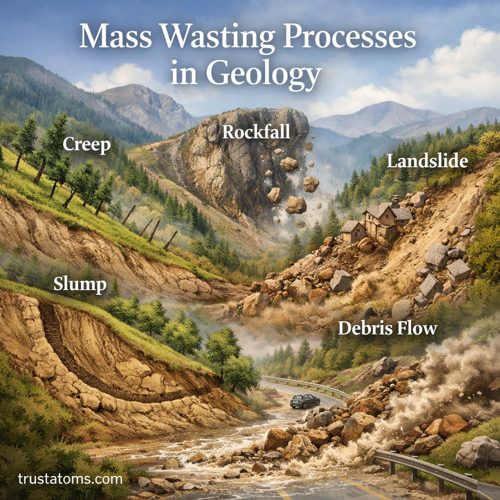
Illustration of mass wasting processes in geology showing landslide, rockfall, and soil movement on a slope.
Illustration of mass wasting processes in geology including landslides, rockfalls, and slope movement.

Mass wasting is the downslope movement of soil, rock, and debris under the force of gravity, ranging from nearly imperceptible soil creep to sudden slope collapse. These movements occur when gravitational forces overcome the strength of slope materials, sometimes following heavy rainfall, earthquakes, erosion, or human disturbance.

From slow soil creep to sudden landslides, mass wasting contributes to landscape evolution, natural hazards, and environmental change. Understanding these processes is part of Earth science and helps geologists, engineers, and communities recognize unstable terrain and reduce exposure to slope failures.

Continue reading “Mass Wasting Processes in Geology”

Ring of Fire and Seismic Activity: Why Earthquakes and Volcanoes Cluster Around the Pacific

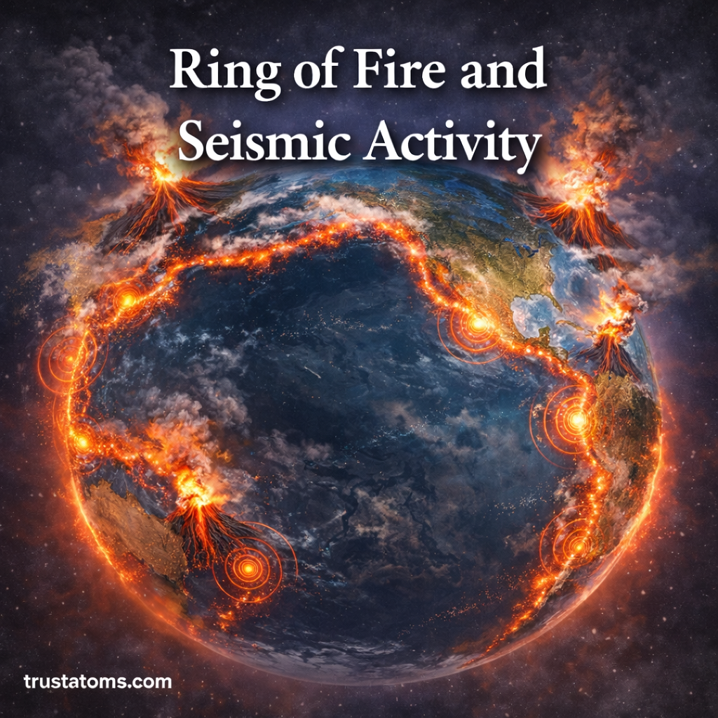
Illustration of the Pacific Ring of Fire showing active volcanoes and earthquake zones surrounding the ocean.
Illustration highlighting the Ring of Fire and the concentration of seismic activity around the Pacific Ocean.

The Pacific Ring of Fire is a broad, horseshoe-shaped zone where earthquakes and volcanoes cluster around the Pacific Ocean because several tectonic plates collide, slide past one another, or sink beneath neighboring plates. Subduction zones account for much of its powerful seismic activity and numerous volcanic chains, while other plate boundaries produce earthquakes without extensive volcanism.

In Earth science, the Ring of Fire demonstrates how movement within Earth’s lithosphere creates mountains, ocean trenches, earthquakes, and volcanoes. Understanding these processes helps explain why communities around the Pacific face overlapping geological hazards.

Continue reading “Ring of Fire and Seismic Activity: Why Earthquakes and Volcanoes Cluster Around the Pacific”

Ground Deformation and Eruption Forecasting: How Scientists Predict Volcanic Activity

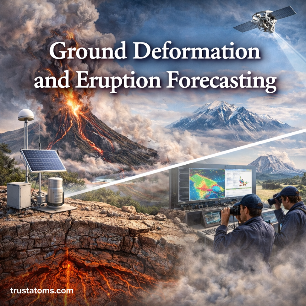
Illustration showing ground deformation near a volcano with magma movement underground and monitoring equipment tracking changes.
Magma accumulation and movement beneath a volcano can deform the ground, producing measurable changes in elevation, slope, and horizontal position.

Ground deformation is the movement or distortion of Earth’s surface caused by underground processes, including magma accumulation and movement beneath volcanoes. Scientists measure these changes to identify volcanic unrest, investigate underground pressure changes, and assess whether an eruption may become more likely.

Volcanic ground movement can be extremely subtle, sometimes measuring only a few millimeters, yet modern instruments can detect it. Studying these signals is part of Earth science, connecting geology, geophysics, volcanic activity, and natural hazard monitoring.

Continue reading “Ground Deformation and Eruption Forecasting: How Scientists Predict Volcanic Activity”