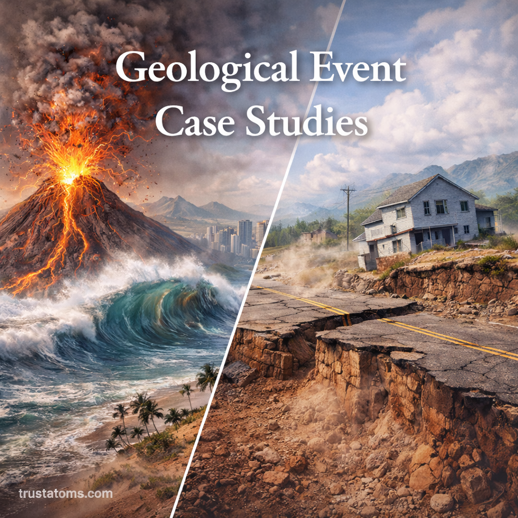
Geological Event Case Studies: Real-World Examples of Earth’s Power in Action

Illustration showing geological events including volcanic eruption, tsunami wave, and earthquake surface damage.
Earthquakes, volcanic eruptions, and tsunamis demonstrate how geological processes can rapidly transform landscapes and affect communities.

Geological event case studies examine real earthquakes, volcanic eruptions, tsunamis, and landslides to understand their causes, consequences, and lessons for disaster preparedness. By comparing documented events, scientists can identify geological hazards, improve monitoring, and help communities reduce future losses.

These events reveal how forces operating beneath Earth’s surface can produce sudden and sometimes devastating changes. Within Earth science, studying past disasters connects geological processes with measurable evidence, human vulnerability, and practical approaches to risk reduction.

Continue reading “Geological Event Case Studies: Real-World Examples of Earth’s Power in Action”
Fault Rupture and Surface Displacement: How Earthquakes Reshape the Ground

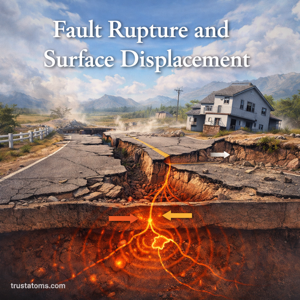
Illustration showing fault rupture and surface displacement with cracked road, shifted ground, and underground fault movement.
Fault rupture can permanently offset roads and other surface features when rock blocks move along an earthquake fault.

Fault rupture occurs when rocks suddenly slip along a geological fault, releasing stored energy and generating an earthquake. Surface displacement is the resulting movement of the ground, which can shift roads, fences, streams, and entire sections of the landscape horizontally or vertically.

Earthquakes are not just vibrations beneath our feet—they can permanently change the shape of the land. Studying these changes is part of Earth science and helps geologists understand fault behavior, measure tectonic movement, and identify areas where infrastructure could be damaged.

Continue reading “Fault Rupture and Surface Displacement: How Earthquakes Reshape the Ground”

Geothermal Regions and Volcanic Activity: How Earth’s Internal Heat Shapes the Surface

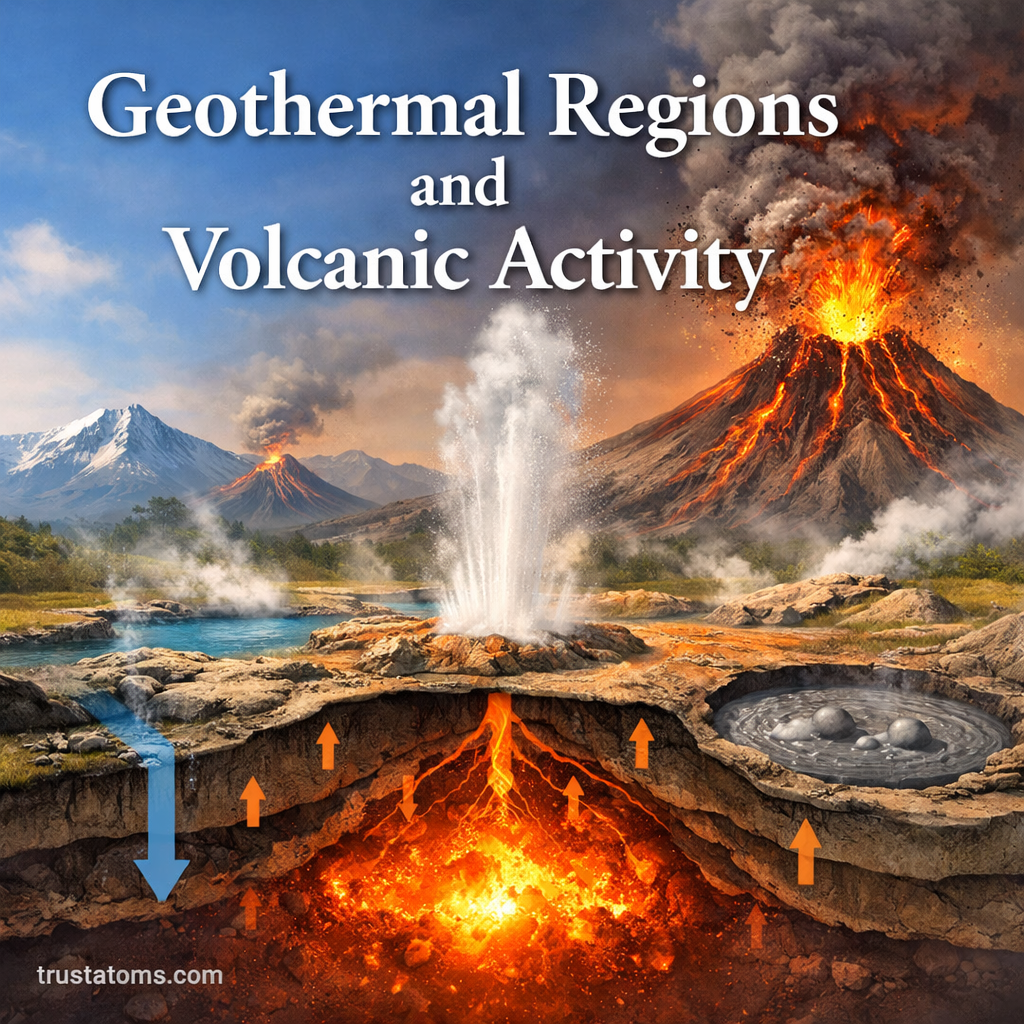
Illustration showing geothermal regions and volcanic activity with erupting volcano, geyser, and underground magma heat system.
Underground magma and circulating hot water can produce volcanoes, geysers, hot springs, and other geothermal features at Earth’s surface.

Geothermal regions are areas where heat from Earth’s interior reaches relatively close to the surface, producing features such as hot springs, geysers, and steam vents. Volcanic activity is often associated with these regions because rising magma transfers heat into surrounding rock and groundwater, although geothermal systems can also exist without active volcanoes.

These landscapes reveal how underground heat, moving tectonic plates, and circulating fluids interact. Studying them is part of Earth science, helping researchers understand earthquakes, volcanic eruptions, and even renewable energy opportunities.

Continue reading “Geothermal Regions and Volcanic Activity: How Earth’s Internal Heat Shapes the Surface”

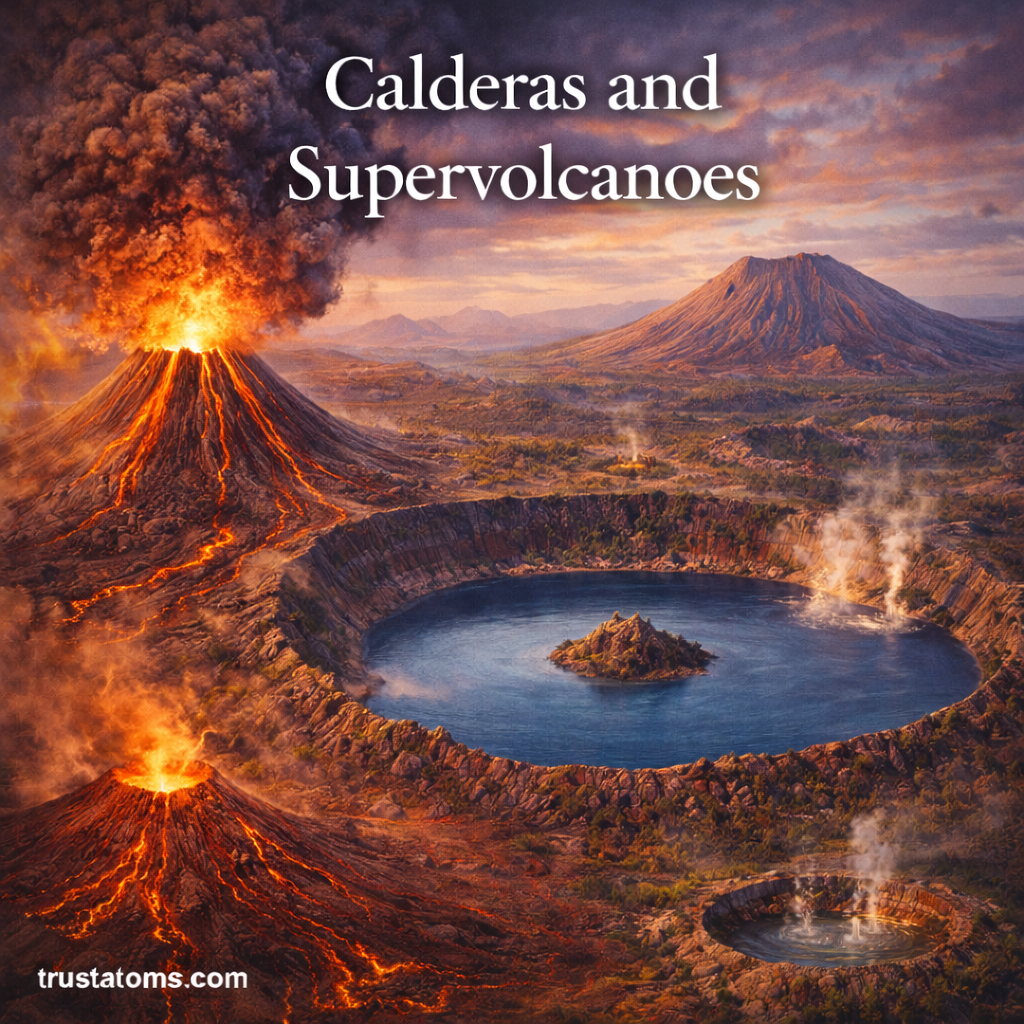
Calderas and Supervolcanoes: Massive Eruptions That Reshape the Earth

Illustration showing caldera formation and supervolcano eruption with large crater lake, lava flows, and ash cloud.
Illustration of calderas and supervolcanoes showing massive eruptions and large volcanic depressions.

A caldera is a large volcanic depression that forms when the ground collapses after magma is withdrawn from beneath a volcano, often during a major eruption. A supervolcano is an informal term for a volcanic system associated with an exceptionally large eruption, typically one reaching magnitude 8 on the Volcanic Explosivity Index.

Although closely related, calderas and supervolcanoes are not interchangeable: one describes a landform, while the other describes the extraordinary scale of volcanic activity. Studying these systems through Earth science helps explain how magma movement, volcanic collapse, and explosive eruptions can transform landscapes and affect distant environments.

Continue reading “Calderas and Supervolcanoes: Massive Eruptions That Reshape the Earth”

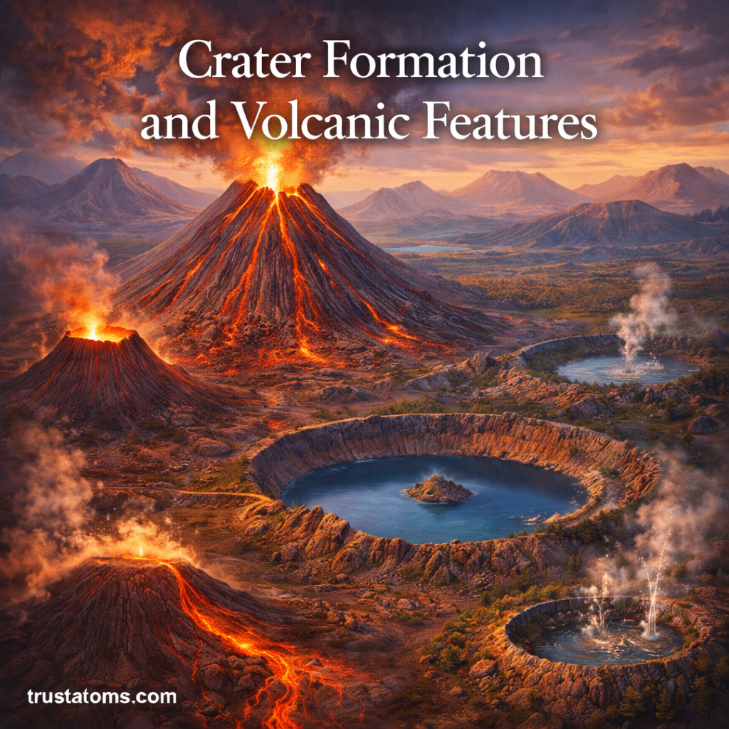
Crater Formation and Volcanic Features: How Volcanoes Shape the Landscape

Illustration showing volcanic crater formation with erupting volcano, caldera lake, lava flows, and different volcanic landforms.
Volcanic eruptions and ground collapse create craters, calderas, lava flows, and cones that reshape the surrounding landscape.

Volcanic craters form when eruptions excavate rock around a volcanic vent or when parts of a volcano collapse, leaving a depression in the landscape. Volcanoes also create cones, lava domes, calderas, and extensive lava fields as molten rock, ash, and volcanic gases reach Earth’s surface.

These features reveal how magma moves, how eruptions occur, and how volcanic terrain changes over time. Studying them is part of Earth science, connecting processes beneath Earth’s surface with landforms, geological hazards, and the development of new landscapes.

Continue reading “Crater Formation and Volcanic Features: How Volcanoes Shape the Landscape”

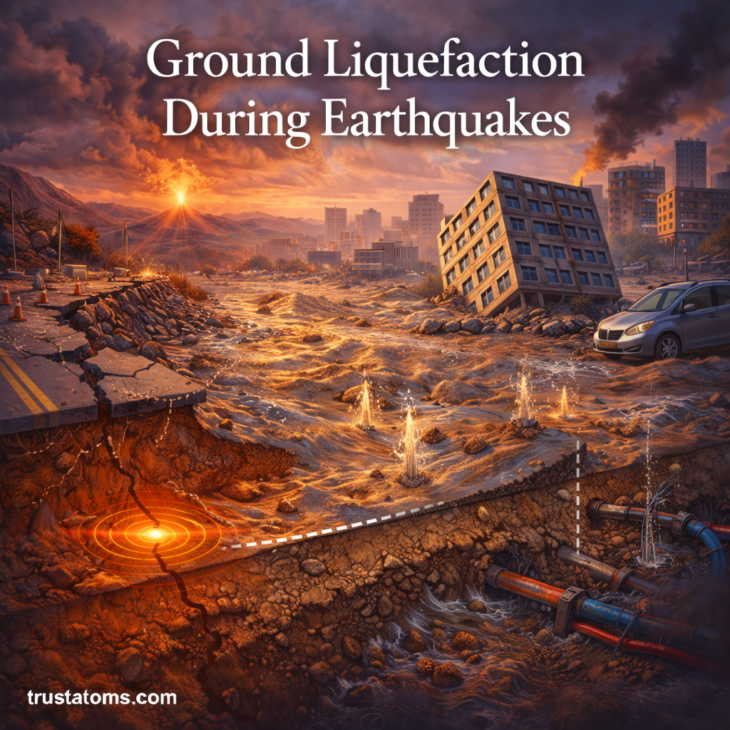
Ground Liquefaction During Earthquakes: When Solid Ground Behaves Like Liquid

Illustration showing ground liquefaction during an earthquake with sinking buildings, water-saturated soil, and surface cracks.
Earthquake-induced liquefaction can weaken saturated soil, causing buildings to settle, roads to crack, and buried infrastructure to shift.

Ground liquefaction occurs when earthquake shaking causes saturated, loose soil to lose much of its strength and temporarily behave like a fluid. This happens when water pressure between soil grains rises, reducing the contact forces that normally allow the ground to support buildings, roads, and other structures.

Liquefaction can cause buildings to tilt, foundations to settle, and buried pipes to break, even where the ground surface initially appears stable. Understanding this process is part of Earth science and earthquake engineering because the severity of damage depends on both seismic shaking and local soil conditions.

Continue reading “Ground Liquefaction During Earthquakes: When Solid Ground Behaves Like Liquid”

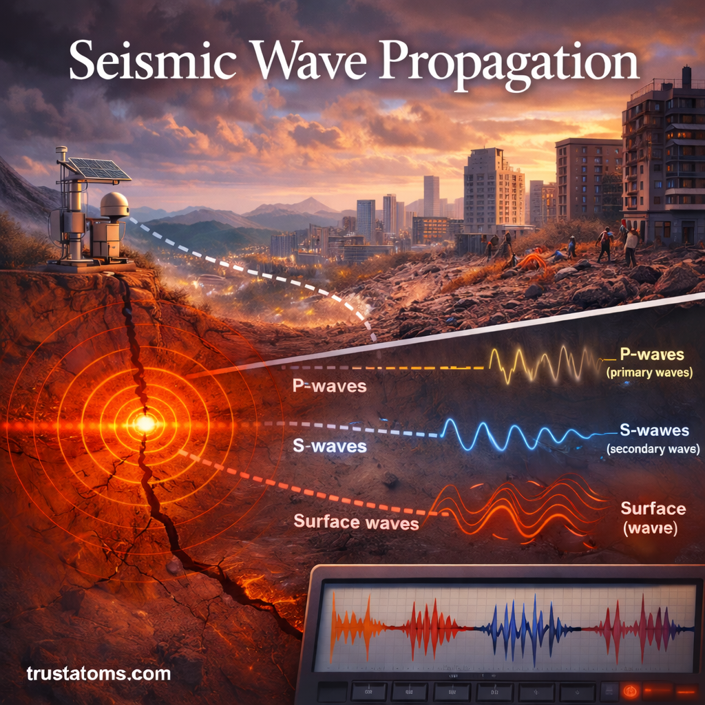
Seismic Wave Propagation: How Earthquake Energy Travels Through the Earth

Illustration showing seismic wave propagation with P-waves, S-waves, and surface waves traveling from an earthquake epicenter.
Diagram of seismic wave propagation showing how P-waves, S-waves, and surface waves travel through the Earth.

Seismic wave propagation is the movement of earthquake energy through Earth’s interior and along its surface as vibrations called seismic waves. These waves travel at different speeds, change direction when they encounter different materials, and produce the ground shaking recorded by seismic instruments.

Understanding wave propagation helps scientists locate earthquakes, investigate Earth’s internal structure, and estimate potential shaking hazards. It is an important part of Earth science because the behavior of seismic energy reveals physical properties of rocks and underground layers that cannot be observed directly.

Continue reading “Seismic Wave Propagation: How Earthquake Energy Travels Through the Earth”

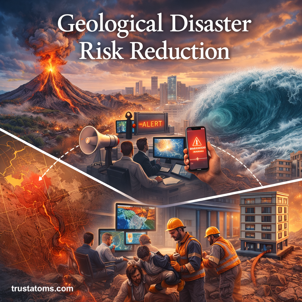
Geological Disaster Risk Reduction: Protecting Lives in a Dynamic Earth

Illustration showing geological disaster risk reduction with volcano eruption, tsunami wave, earthquake damage, and emergency response systems.
Geological disaster risk reduction combines hazard monitoring, safer infrastructure, evacuation planning, and emergency response to limit damage and casualties.

Geological disaster risk reduction is the process of limiting deaths, injuries, property damage, and disruption caused by earthquakes, volcanic eruptions, landslides, and tsunamis. It combines hazard assessment, safer construction, land-use planning, early warnings, and community preparedness to reduce the consequences of events that cannot usually be prevented.

From earthquakes and volcanic eruptions to landslides and tsunamis, geological hazards are natural parts of Earth’s behavior, but their impacts depend heavily on where people live and how communities prepare. Understanding these processes through Earth science provides the evidence needed to make informed safety decisions.

Continue reading “Geological Disaster Risk Reduction: Protecting Lives in a Dynamic Earth”

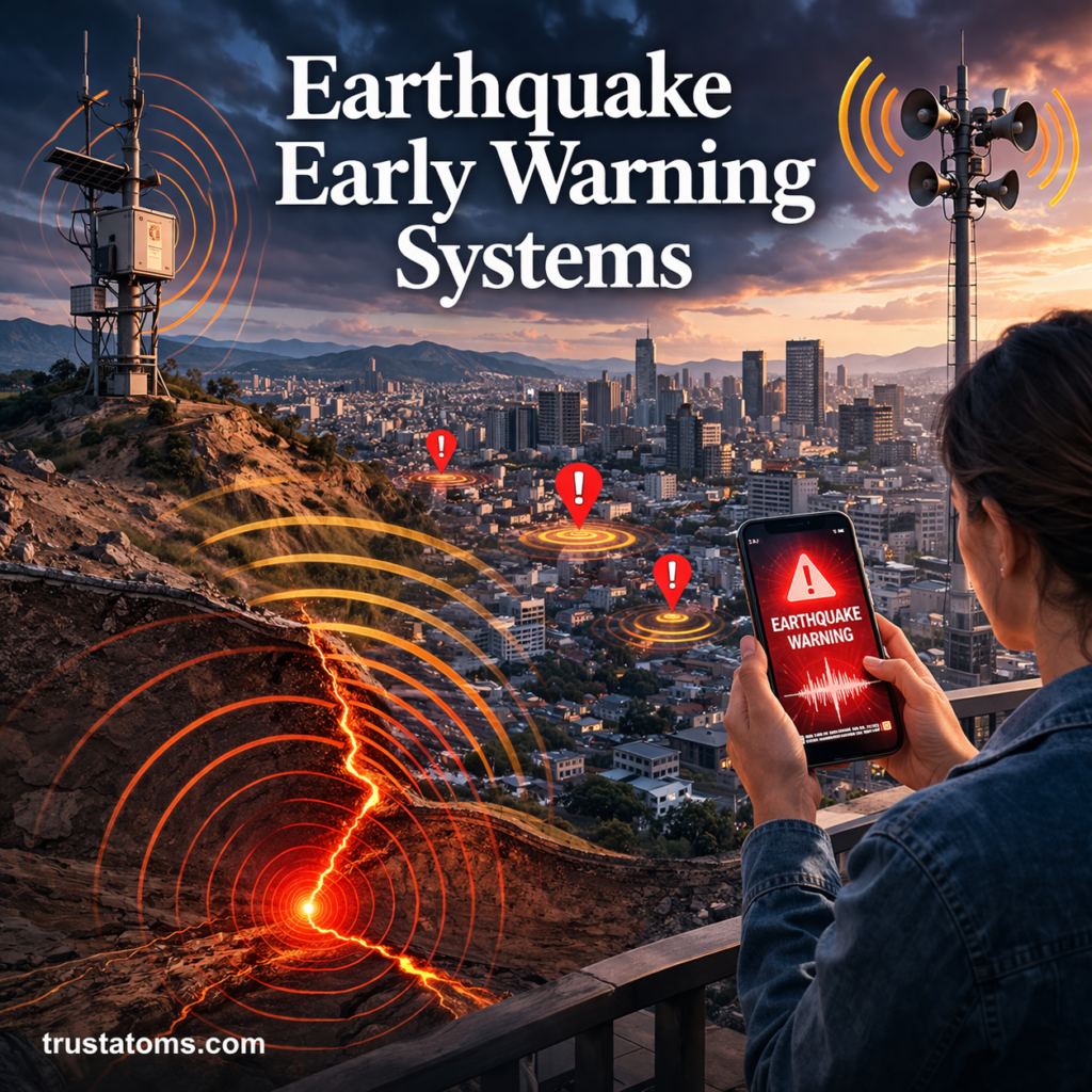
Earthquake Early Warning Systems: How Seconds Can Save Lives

Illustration showing earthquake early warning system with seismic sensors, city alert signals, and smartphone warning notification.
Illustration of earthquake early warning systems detecting seismic activity and sending alerts to a city.

Earthquake early warning systems detect earthquakes after they begin and send alerts to locations that may experience strong shaking before the most damaging seismic waves arrive. Even a few seconds of advance notice can help people take cover, allow trains to slow down, and trigger automated safety measures that reduce injuries and other risks.

Unlike earthquake prediction, early warning relies on detecting seismic waves already traveling through the ground. This technology applies principles of Earth science to turn rapid geological measurements into practical safety information.

Continue reading “Earthquake Early Warning Systems: How Seconds Can Save Lives”

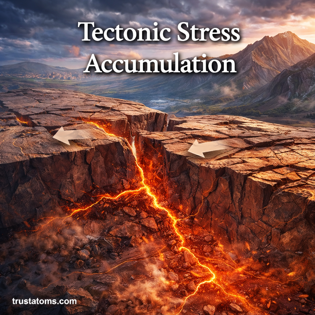
Tectonic Stress Accumulation: The Hidden Force Behind Earthquakes

Illustration showing tectonic plates building stress along a fault line with visible ground cracking and energy buildup.
Tectonic movement can gradually deform rocks around a locked fault until sudden slipping releases stored elastic energy as an earthquake.

Tectonic stress accumulation is the gradual buildup of forces within Earth’s crust as tectonic plates move and rocks resist deformation. When a fault suddenly slips after accumulating sufficient stress, stored elastic energy is released, generating seismic waves that produce earthquakes.

This process explains why seemingly stable ground can suddenly shake after decades or centuries of slow deformation. Studying how rocks respond to tectonic forces is part of Earth science and helps researchers understand earthquake hazards near active faults and plate boundaries.

Continue reading “Tectonic Stress Accumulation: The Hidden Force Behind Earthquakes”