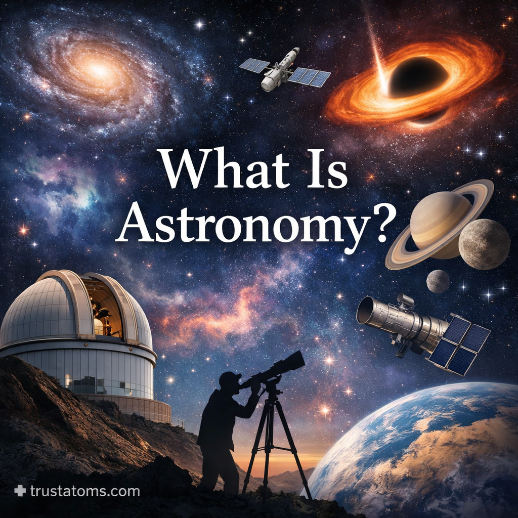
Extreme Weather Event Analysis

Extreme weather event analysis illustration showing hurricane, tornado, flood, wildfire, and scientists analyzing weather data with screens.
Scientists analyzing extreme weather events including hurricanes, floods, tornadoes, and wildfires. trustatoms.com.

Extreme weather events are becoming more frequent, intense, and costly across the globe. From hurricanes and heatwaves to floods and droughts, these events impact ecosystems, economies, and human lives on a massive scale.

Understanding how extreme weather forms, how it is analyzed, and what it means for the future is essential for both scientific awareness and practical preparedness.

Continue reading “Extreme Weather Event Analysis”

Ocean–Atmosphere Interaction in Weather

Ocean–atmosphere interaction in weather illustration showing evaporation, cloud formation, wind movement, and rainfall over the ocean.
Ocean–atmosphere interaction showing evaporation, cloud formation, and precipitation over a coastal region. trustatoms.com

The Earth’s weather system is driven by a constant exchange of energy and moisture between the oceans and the atmosphere. Because oceans cover over 70% of the planet’s surface, they act as a massive heat reservoir, influencing everything from daily weather patterns to long-term climate systems.

Understanding ocean–atmosphere interaction is key to explaining storms, rainfall, wind patterns, and even extreme events like hurricanes and droughts.

Continue reading “Ocean–Atmosphere Interaction in Weather”

Climate Zones and Atmospheric Behavior

Illustration showing Earth’s climate zones with atmospheric circulation patterns including tropical, temperate, and polar regions.
A visual overview of climate zones and atmospheric behavior, showing how global circulation shapes different regions. trustatoms.com.

Earth’s climate varies dramatically from region to region, from hot tropical rainforests to frozen polar landscapes. These differences are organized into climate zones, which are shaped by how energy moves through the atmosphere.

Understanding climate zones and atmospheric behavior helps explain global weather patterns, ecosystems, and long-term climate trends.

Continue reading “Climate Zones and Atmospheric Behavior”

Weather Data Collection Techniques

Illustration showing weather data collection tools including satellites, weather stations, radar, balloons, and ocean buoys.
A visual overview of weather data collection techniques using satellites, radar, balloons, and ground-based instruments. trustatoms.com.

Accurate weather forecasting depends on reliable data. Meteorologists gather information from a wide range of tools and technologies to monitor atmospheric conditions in real time. These weather data collection techniques help track temperature, pressure, humidity, wind, and precipitation—forming the foundation of modern weather prediction.

Understanding how this data is collected provides insight into how forecasts are made and why they continue to improve over time.

Continue reading “Weather Data Collection Techniques”

Wind Energy and Atmospheric Motion

Illustration showing wind turbines powered by atmospheric motion with airflow patterns and pressure differences.
A visual representation of how atmospheric motion creates wind and how turbines convert it into clean energy. trustatoms.com.

Wind is more than just moving air—it’s a powerful result of Earth’s energy system. From gentle breezes to strong global currents, wind is driven by differences in temperature and pressure across the planet. Today, this natural movement is also harnessed as a clean, renewable energy source.

Understanding how atmospheric motion creates wind helps explain both weather patterns and how wind energy works.

Continue reading “Wind Energy and Atmospheric Motion”

Severe Weather Warning Systems

Illustration showing severe weather warning system with radar, satellite, storm, and mobile alert notification.
A visual overview of severe weather warning systems, showing monitoring, forecasting, and alert communication during dangerous storms. trustatoms.com.

Severe weather can develop quickly and pose serious risks to people, property, and infrastructure. From thunderstorms and tornadoes to hurricanes and flash floods, early detection and timely alerts are critical for safety.

Severe weather warning systems are designed to monitor atmospheric conditions, predict dangerous events, and communicate alerts to the public so people can take action before conditions worsen.

Continue reading “Severe Weather Warning Systems”

Seasonal Weather Patterns

Illustration showing the four seasons around Earth including spring, summer, autumn, and winter in a circular cycle.
A visual representation of seasonal weather patterns showing the continuous cycle of spring, summer, autumn, and winter. trustatoms.com.

Seasonal weather patterns are the predictable changes in weather conditions that occur throughout the year. These patterns are driven primarily by Earth’s tilt, its orbit around the Sun, and the way energy is distributed across the planet.

Understanding seasonal weather helps explain why temperatures, precipitation, and daylight hours vary—and why different regions experience unique climates throughout the year.

Continue reading “Seasonal Weather Patterns”

Atmospheric Layers and Radiation Balance

Illustration of Earth’s atmospheric layers showing incoming solar radiation and outgoing infrared heat energy.
A visual diagram showing how atmospheric layers interact with incoming solar radiation and outgoing heat energy. trustatoms.com.

Earth’s atmosphere is more than just the air we breathe—it’s a complex system that regulates temperature, protects life, and controls how energy moves around the planet. One of the most important processes in this system is radiation balance, which determines how much energy Earth receives from the Sun and how much it sends back into space.

Understanding atmospheric layers and radiation balance helps explain climate, weather patterns, and global temperature changes.

Continue reading “Atmospheric Layers and Radiation Balance”

Air Mass Interaction and Storm Development

Illustration showing cold and warm air masses colliding to form storm clouds and lightning over a landscape.
A visual of air mass interaction where cold and warm air collide, leading to storm development. trustatoms.com.

Weather doesn’t happen randomly—many storms form because of how different air masses interact. When large bodies of air with different temperatures and moisture levels collide, they create the perfect conditions for clouds, precipitation, and sometimes severe storms.

Understanding air mass interaction is key to explaining why storms form, how they intensify, and where they are most likely to occur.

Continue reading “Air Mass Interaction and Storm Development”

Urban Heat Islands and Temperature Effects

Diagram illustrating urban heat island effect with a hotter city skyline and cooler green landscape side by side.
A simple visual explaining how urban heat islands make cities hotter than surrounding green areas. trustatoms.com.

Cities are often significantly warmer than the rural areas that surround them. This phenomenon, known as the urban heat island (UHI) effect, is a well-documented environmental issue that impacts millions of people worldwide.

Understanding how and why urban heat islands form—and their effects on temperature, health, and energy use—can help individuals, planners, and policymakers create cooler, more sustainable cities.

Continue reading “Urban Heat Islands and Temperature Effects”