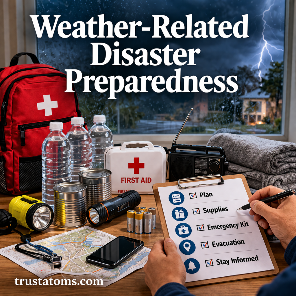
Weather-Related Disaster Preparedness: A Complete Guide to Staying Safe Before, During, and After Extreme Events

Weather-related disaster preparedness illustration showing emergency supplies like water, first aid kit, and flashlight with storm, tornado, flood, and wildfire in the background.
Emergency preparedness supplies and multiple weather disaster scenarios including tornado, flood, and wildfire.

Weather-related disaster preparedness means identifying local hazards, creating an emergency plan, gathering essential supplies, and knowing when to shelter or evacuate. Preparing before a storm, flood, tornado, heatwave, or wildfire can reduce injuries, limit disruption, and help households respond safely when conditions become dangerous.

Different hazards require different responses, but reliable warnings, accessible supplies, and practiced decisions provide a common foundation. Understanding the atmospheric processes studied in Earth science also helps explain why extreme weather develops and how its effects vary by location.

Continue reading “Weather-Related Disaster Preparedness: A Complete Guide to Staying Safe Before, During, and After Extreme Events”
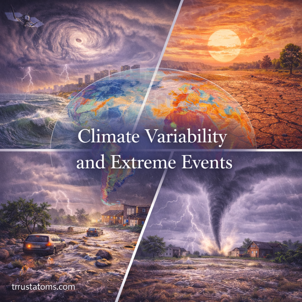
Climate Variability and Extreme Events: Understanding Patterns and Impacts

Climate variability and extreme events illustration showing hurricane, drought, flooding, and tornado impacts across different regions.
Illustration of climate variability and extreme events highlighting storms, drought, flooding, and severe weather impacts.

Climate variability refers to fluctuations in temperature, rainfall, winds, and other climate conditions over months, years, or decades. These fluctuations influence extreme weather by changing the likelihood, location, duration, or intensity of events such as droughts, floods, heatwaves, and storms.

Natural patterns such as El Niño and La Niña help explain why some regions experience unusually wet or dry seasons, even without a permanent shift in climate. Studying these patterns is part of Earth science because atmospheric circulation, ocean temperatures, and land conditions interact to shape weather hazards.

Continue reading “Climate Variability and Extreme Events: Understanding Patterns and Impacts”

Early Warning Systems for Severe Weather: How They Work and Why They Save Lives

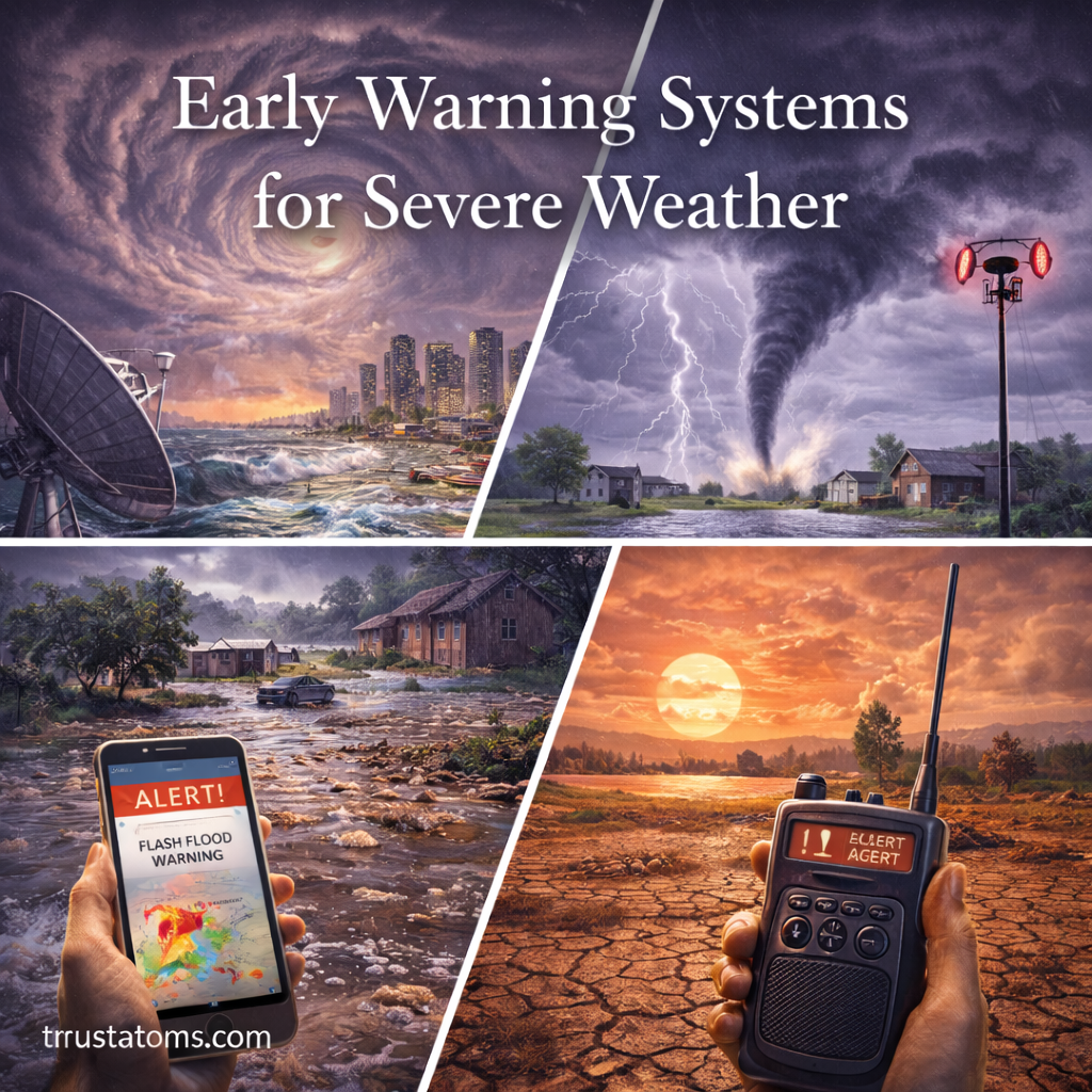
Early warning systems for severe weather illustration showing hurricane, tornado, flood, and heatwave alerts with communication and monitoring tools.
Illustration of early warning systems for severe weather featuring storm alerts, monitoring technology, and multiple extreme weather threats.

Early warning systems for severe weather combine hazard monitoring, forecasting, public alerts, and emergency planning to help people act before dangerous conditions arrive. They save lives by providing advance notice of threats such as tornadoes, hurricanes, floods, and extreme heat, allowing communities to shelter, evacuate, or take other protective measures.

These systems connect atmospheric observations with practical safety decisions, making them an important application of Earth science. Their effectiveness depends not only on detecting hazardous weather but also on communicating understandable warnings to people who can respond in time.

Continue reading “Early Warning Systems for Severe Weather: How They Work and Why They Save Lives”

Extreme Weather Risk Assessment: Understanding, Evaluating, and Reducing Hazards

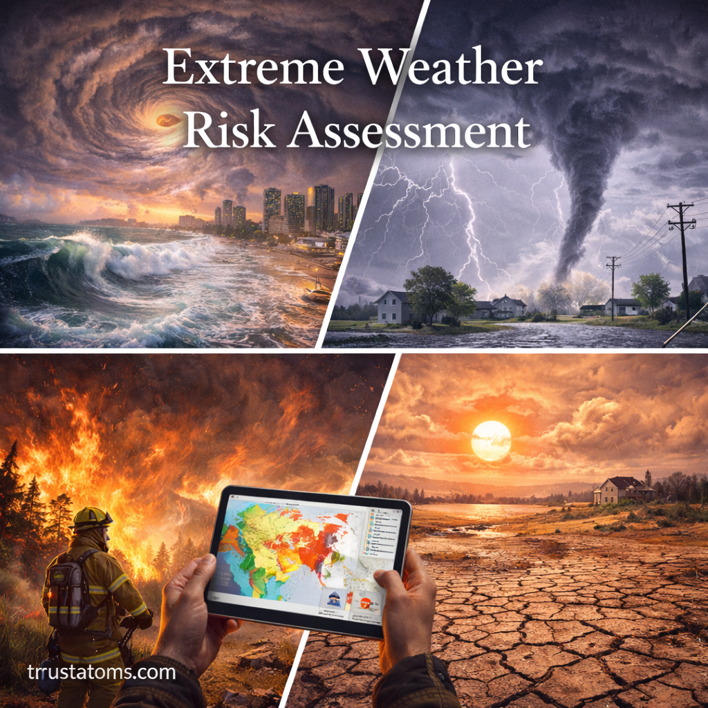
Extreme weather risk assessment illustration showing hurricane, tornado, wildfire, and drought with a digital risk map analysis.
Extreme weather risk assessments combine hazard information with maps of exposed communities and infrastructure to identify potential losses.

Extreme weather risk assessment is the process of identifying hazardous weather, estimating who or what could be affected, and evaluating the potential consequences. It combines information about hazards, exposure, and vulnerability to help communities prepare for floods, hurricanes, heatwaves, droughts, and severe storms.

Risk assessment draws on weather observations, geographic data, engineering, and Earth science to identify where damage is most likely and which protective measures may be effective. It does not predict exactly when every disaster will happen; instead, it supports decisions under uncertainty.

Continue reading “Extreme Weather Risk Assessment: Understanding, Evaluating, and Reducing Hazards”

Hailstorms and Ice Formation: How Hail Develops and Why It Matters

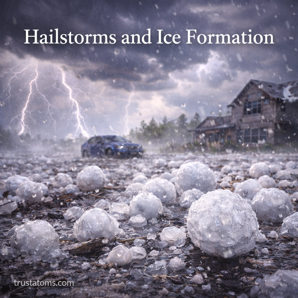
Hailstorms and ice formation illustration showing large hailstones falling during a thunderstorm with lightning and storm damage to homes and vehicles.
Large hailstones develop inside powerful thunderstorms and can damage roofs, vehicles, and other exposed surfaces.

Hail forms when strong thunderstorm updrafts carry ice particles through regions containing supercooled water droplets, allowing the particles to grow into hailstones. When the stones can no longer remain suspended in the storm, they fall to the ground, sometimes causing serious damage to buildings, vehicles, crops, and people.

Hailstorms are among the most destructive weather events associated with thunderstorms. Understanding their formation connects cloud physics, atmospheric temperature, and air movement, all central subjects in Earth science.

Continue reading “Hailstorms and Ice Formation: How Hail Develops and Why It Matters”

Monsoon Flooding Events: Causes, Patterns, and Impacts

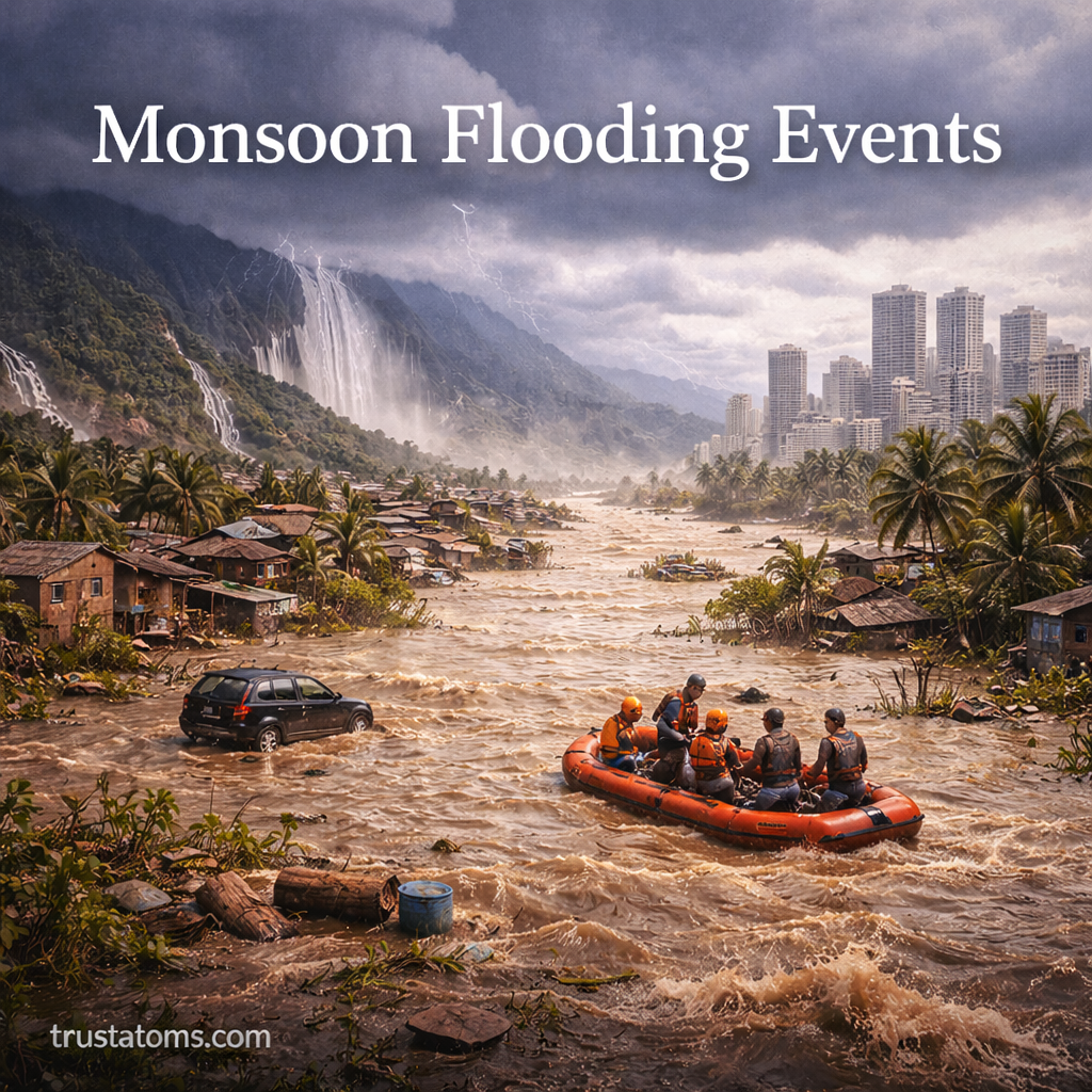
Monsoon flooding events illustration showing heavy rainfall, overflowing water, rescue teams in boats, and submerged homes and vehicles.
Intense monsoon rainfall can overwhelm rivers and drainage systems, flooding communities and disrupting transportation.

Monsoon flooding occurs when heavy seasonal rainfall overwhelms rivers, drainage systems, or the ground’s ability to absorb water. These events can develop suddenly during intense downpours or gradually after prolonged rain saturates the landscape.

Monsoon flooding events are among the most significant seasonal weather hazards on Earth. While monsoons provide essential rainfall for agriculture and water supplies, excessive precipitation can damage infrastructure, displace communities, and threaten lives. Understanding how monsoon systems work and why flooding occurs helps improve preparedness and reduce risk.

In Earth science, monsoon flooding demonstrates how atmospheric circulation, river systems, land surfaces, and human development interact to produce natural hazards.

Continue reading “Monsoon Flooding Events: Causes, Patterns, and Impacts”

Windstorms and Derechos: Causes, Characteristics, and Impacts

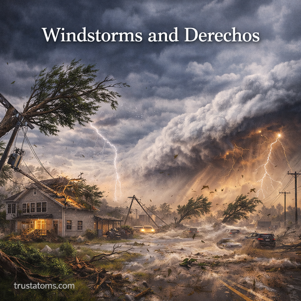
Windstorms and derechos illustration showing powerful straight-line winds, lightning, debris, and storm damage across a residential area.
Illustration of windstorms and derechos causing strong winds, lightning, and widespread damage.

Windstorms are weather events that produce damaging winds, while derechos are widespread, long-lived windstorms generated by organized bands of thunderstorms. Derechos can produce destructive straight-line winds across hundreds of kilometers, damaging buildings, uprooting trees, and disrupting electricity and transportation.

Although tornadoes and hurricanes are better known, derechos can cause extensive damage across large regions. Understanding these events connects severe weather with Earth science, particularly atmospheric instability, air pressure, and storm circulation.

Continue reading “Windstorms and Derechos: Causes, Characteristics, and Impacts”

Severe Thunderstorm Systems: Formation, Types, and Impacts

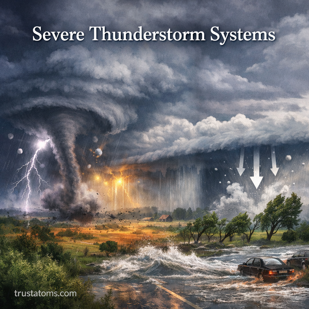
Severe thunderstorm systems illustration showing tornado, lightning, hail, strong winds, and heavy rainfall in a storm landscape.
Illustration of severe thunderstorm systems with tornado, lightning, hail, and flooding impacts.

Severe thunderstorm systems form when warm, moist, unstable air rises rapidly and develops into powerful storm clouds capable of producing damaging winds, large hail, or tornadoes. Depending on atmospheric conditions, these storms may develop as isolated cells, organized clusters, squall lines, or rotating supercells, with additional hazards including lightning and flash flooding.

Understanding how these systems develop helps explain why some storms remain relatively weak while others become dangerous. Their formation connects atmospheric motion, moisture, and energy transfer, making severe weather an important subject within Earth science.

Continue reading “Severe Thunderstorm Systems: Formation, Types, and Impacts”

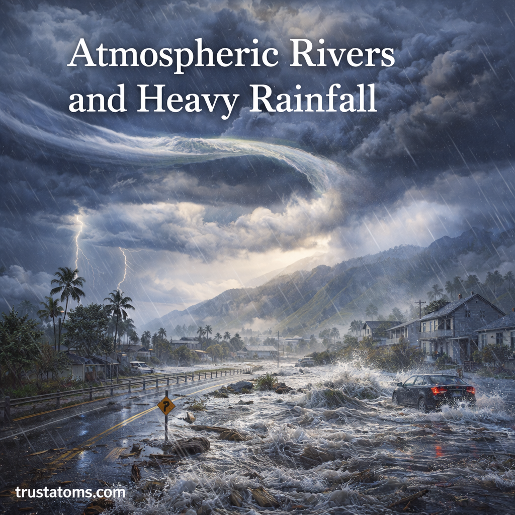
Atmospheric Rivers and Heavy Rainfall: What They Are and Why They Matter

Illustration showing an atmospheric river bringing heavy rainfall, flooding a town with rising water and storm clouds overhead.
An atmospheric river can deliver prolonged heavy rainfall that overwhelms rivers, drainage systems, and communities in low-lying areas.

Atmospheric rivers are long, narrow regions of concentrated water vapor transport that move moisture through the atmosphere, often from warm ocean regions toward higher latitudes. When these moisture-rich air currents encounter storms or mountains, they can produce heavy rain or snow, replenishing water supplies but sometimes causing dangerous flooding and landslides.

In Earth science, atmospheric rivers illustrate how winds and the water cycle connect oceans with weather over land. Their impacts depend not only on how much moisture they carry, but also on storm duration, terrain, temperature, and how wet the ground was before precipitation began.

Continue reading “Atmospheric Rivers and Heavy Rainfall: What They Are and Why They Matter”

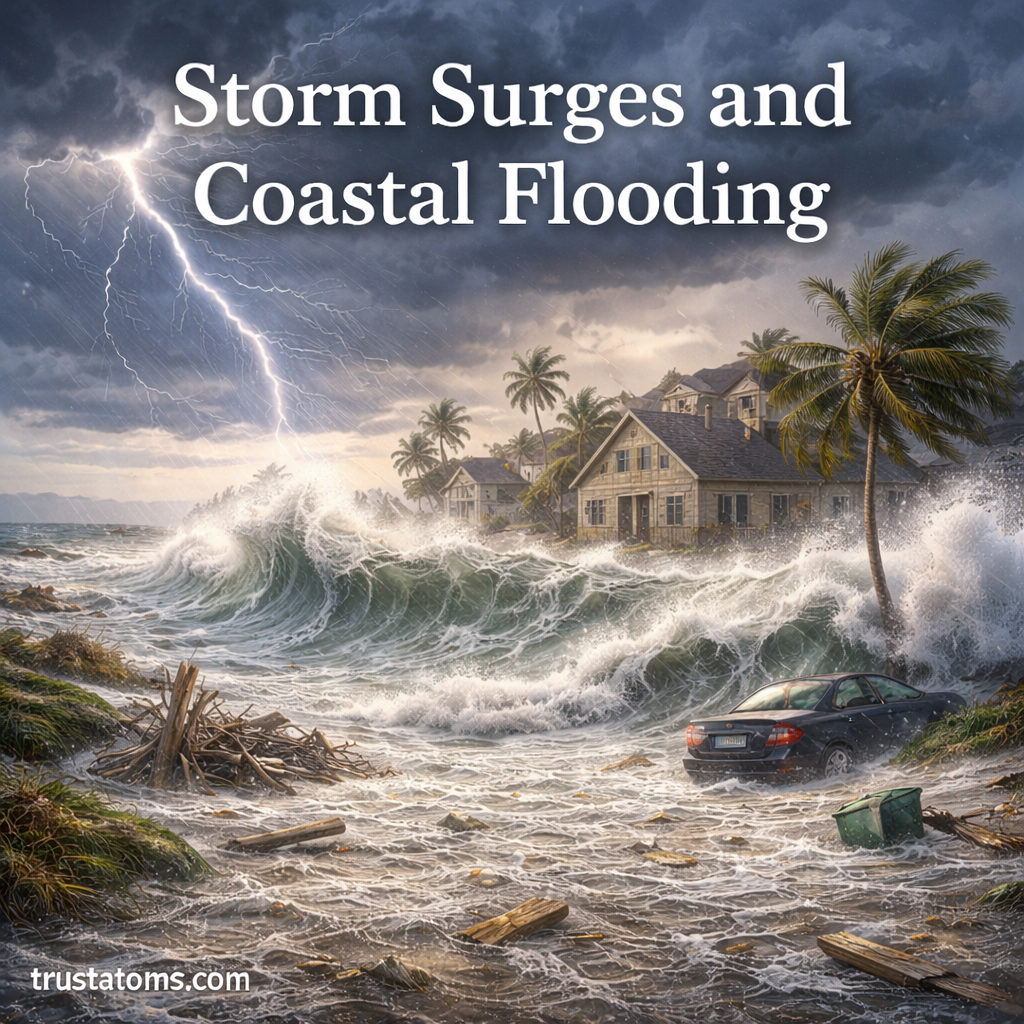
Storm Surges and Coastal Flooding: Causes, Impacts, and Protection

Illustration showing storm surge waves flooding a coastal neighborhood with strong winds, heavy rain, and rising sea levels.
Strong storm winds can raise coastal water levels, allowing seawater and damaging waves to inundate low-lying neighborhoods.

Storm surges occur when powerful storm winds push seawater toward the coast, raising water levels above the height expected from normal astronomical tides. Coastal flooding happens when that elevated water, sometimes combined with high tides and waves, moves onto normally dry land and threatens buildings, roads, and ecosystems.

Storm surges and coastal flooding are among the most destructive effects of severe weather, particularly during hurricanes and powerful storms. Understanding how wind, ocean depth, and coastal geography interact connects these hazards to the broader study of Earth science.

Continue reading “Storm Surges and Coastal Flooding: Causes, Impacts, and Protection”