Coral Reefs and Marine Ecosystems

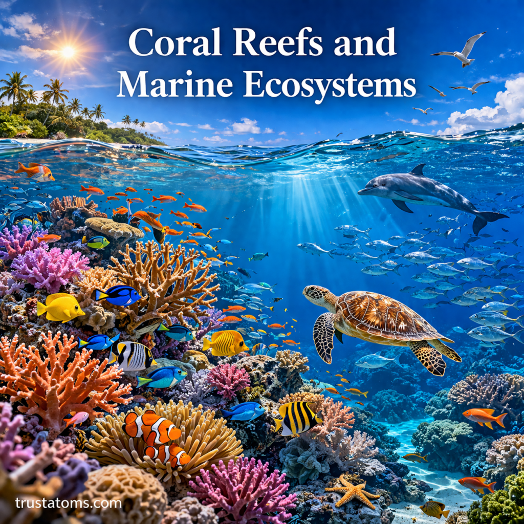
Vibrant coral reef ecosystem with diverse marine life including fish, sea turtle, and dolphin in clear tropical ocean water.
Coral reefs create complex underwater habitats that support fish, sea turtles, invertebrates, and other marine organisms.

Coral reefs are underwater ecosystems built mainly by colonies of tiny animals called coral polyps, which produce calcium carbonate skeletons that gradually form reef structures. These ecosystems provide habitat for diverse marine organisms, help reduce wave energy along coastlines, and support fishing, tourism, and coastal communities.

Although many coral reefs grow in warm, shallow tropical waters, their survival depends on a delicate combination of sunlight, temperature, water chemistry, and ecological relationships. Studying reefs through Earth science reveals how ocean conditions, biological activity, and environmental changes interact beneath the surface.

Continue reading “Coral Reefs and Marine Ecosystems”
Ocean Currents and Climate Interaction

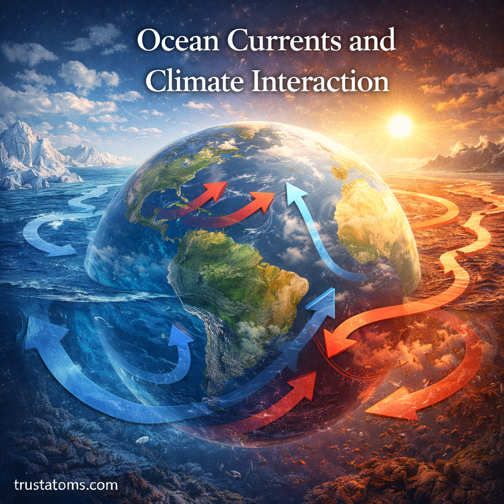
Illustration of Earth showing ocean currents with warm and cold water movement influencing global climate patterns.
Global ocean circulation transports warm and cold water between regions, influencing temperatures, rainfall, and climate patterns.

Ocean currents are powerful, continuous movements of seawater that play a major role in shaping Earth’s climate. By transporting heat, moisture-related energy, nutrients, and dissolved gases, they influence regional temperatures, atmospheric circulation, and weather patterns.

The interaction between ocean circulation and climate is a central topic in Earth science. Because oceans absorb and store enormous amounts of solar energy, changes in how seawater moves can affect coastal environments and climate conditions far from the ocean itself.

Continue reading “Ocean Currents and Climate Interaction”

Tides and Gravitational Forces

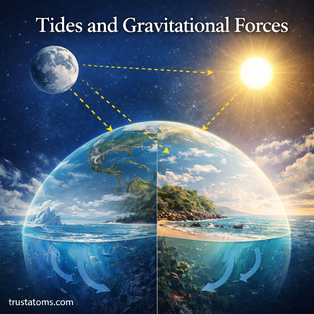
Illustration showing Earth, Moon, and Sun with gravitational forces influencing ocean tides and creating high and low tide patterns.
The Moon’s gravitational influence produces most of Earth’s tidal forcing, while the Sun modifies the resulting ocean tides.

Tides are the regular rise and fall of sea levels along coastlines, driven primarily by differences in the gravitational pull of the Moon and Sun across Earth. Earth’s rotation and the movement of ocean water through differently shaped basins determine when high and low tides occur and how large they become.

The Moon produces the stronger tidal influence despite the Sun’s much greater mass because it is considerably closer to Earth. Understanding these interactions is part of Earth science and helps explain coastal flooding, marine habitats, navigation, and predictable changes in sea level.

Continue reading “Tides and Gravitational Forces”

Thermohaline Circulation in the Oceans

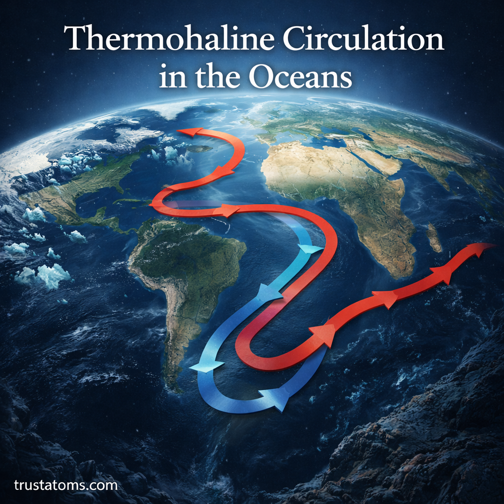
Illustration of thermohaline circulation showing global ocean conveyor belt with warm and cold currents moving across the Earth.
Global ocean circulation connects warm surface currents with colder deep-water flows through differences in temperature, salinity, and water density.

Thermohaline circulation is the large-scale movement of ocean water influenced by density differences caused by temperature and salinity. It contributes to deep-ocean circulation, redistributes heat and dissolved substances, and connects water masses across the Atlantic, Pacific, Indian, and Southern Oceans.

Often associated with the global ocean conveyor belt, this circulation helps explain how water moves between the surface and deep ocean over long periods. Understanding it is part of Earth science because ocean circulation connects climate, the water cycle, polar environments, and marine ecosystems.

Continue reading “Thermohaline Circulation in the Oceans”

Ocean Structure and Depth Zones

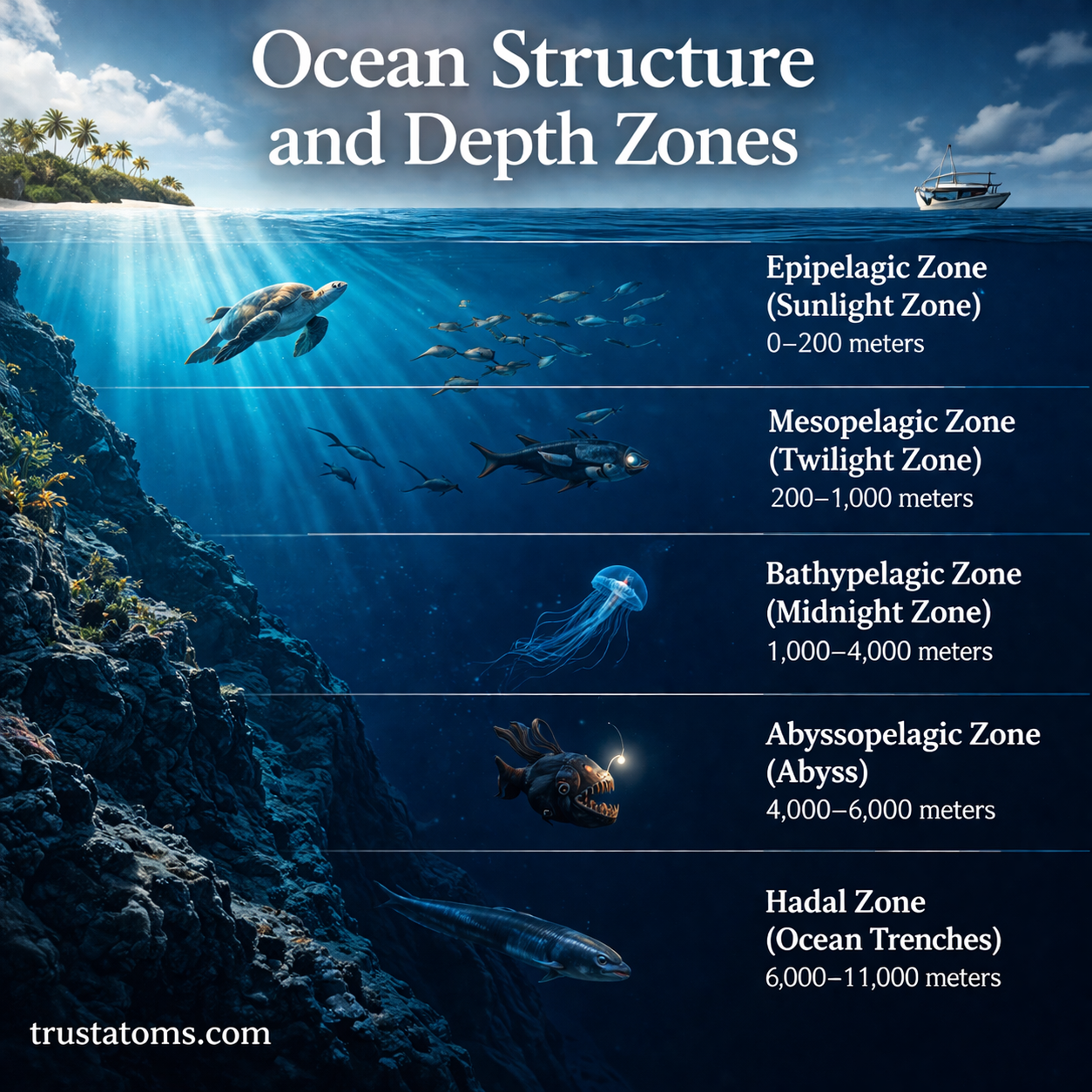
Accurate ocean depth zones diagram showing epipelagic, mesopelagic, bathypelagic, abyssopelagic, and hadal zones with correct depth ranges and marine life.
The five major ocean depth zones extend from the sunlit epipelagic layer to the hadal depths of ocean trenches.

Ocean structure and depth zones describe how seawater and marine environments change with depth, light, temperature, pressure, and distance from shore. Scientists divide the open ocean into five major depth zones, from the sunlit epipelagic layer to the extremely deep hadal zone found in ocean trenches.

These divisions help explain where marine organisms live, how nutrients circulate, and why conditions near the surface differ so dramatically from those thousands of meters below. Understanding ocean layers is part of Earth science, which examines interactions among Earth’s water, atmosphere, rocks, and living systems.

Continue reading “Ocean Structure and Depth Zones”

Case Studies in Extreme Weather Events

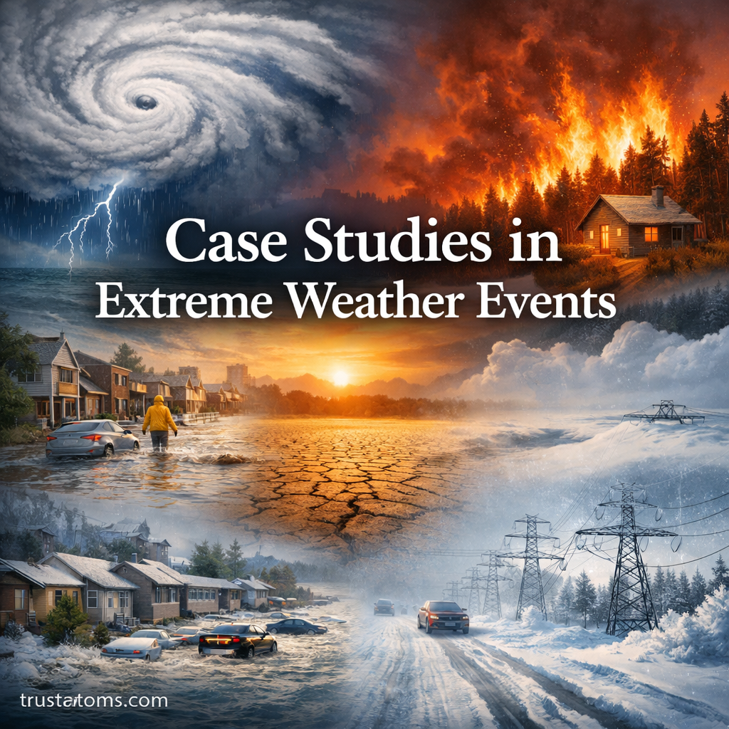
Illustration showing multiple extreme weather events including hurricane, wildfire, flood, drought, and winter storm with title Case Studies in Extreme Weather Events.
Illustration of various extreme weather events including hurricanes, wildfires, floods, droughts, and winter storms.

Extreme weather case studies examine real disasters to understand how unusual atmospheric conditions develop, why they cause damage, and which responses reduce future losses. Events such as Hurricane Katrina, the 2003 European heatwave, and the 2021 Texas winter storm show that disaster severity depends on both the physical hazard and the vulnerability of affected communities.

Studying these events connects meteorology, climate, infrastructure, and public safety. Within Earth science, historical disasters provide evidence for understanding atmospheric processes while revealing how planning decisions influence their consequences.

Continue reading “Case Studies in Extreme Weather Events”

Cold Waves and Arctic Air Intrusions: How Extreme Cold Impacts Weather and Society

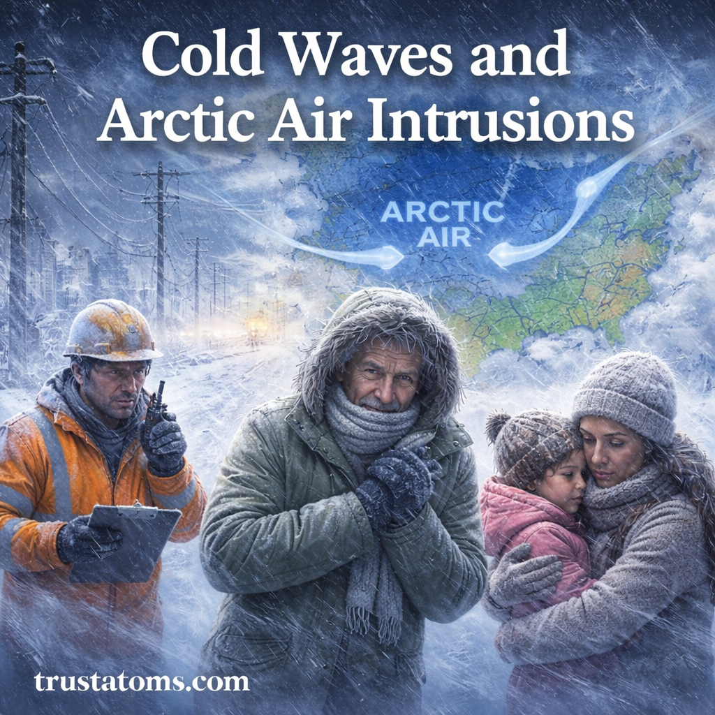
Cold waves and Arctic air intrusions illustration showing people exposed to extreme winter conditions with snow, wind, and a map of cold air moving south.
An Arctic air intrusion can carry exceptionally cold air southward, exposing communities to freezing temperatures, strong winds, and winter weather hazards.

Cold waves are periods of unusually low temperatures that can develop when Arctic air moves into regions farther south, sometimes bringing dangerous wind chills and widespread freezing conditions. These events can threaten human health, damage water and power systems, disrupt transportation, and affect agriculture, especially where communities are poorly prepared for severe cold.

Cold waves connect atmospheric circulation with the conditions people experience at ground level. Understanding how air masses move, how temperatures change, and why some regions face greater risks is part of Earth science and the study of weather systems.

Continue reading “Cold Waves and Arctic Air Intrusions: How Extreme Cold Impacts Weather and Society”

Heat Index and Human Impact: Understanding How Heat Affects the Body

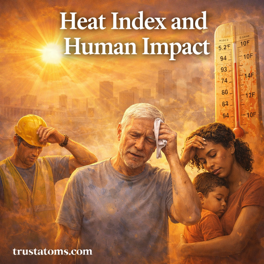
Heat index and human impact illustration showing people affected by extreme heat, including an elderly man, worker, and child under intense sun and high temperatures.
Extreme heat and humidity increase the risk of heat-related illness, particularly for older adults, children, and people working outdoors.

The heat index combines air temperature and relative humidity to estimate how hot conditions feel to the human body, especially when sweating becomes less effective at cooling the skin. As the heat index rises, the body works harder to release heat, increasing the risk of dehydration, heat exhaustion, and potentially life-threatening heat stroke.

Understanding the heat index connects atmospheric conditions with human health, an important application of Earth science. Temperature alone cannot describe every heat hazard because humidity, direct sunlight, wind, physical activity, and individual health all influence how the body responds.

Continue reading “Heat Index and Human Impact: Understanding How Heat Affects the Body”

Cyclone Tracking and Prediction: How Scientists Monitor and Forecast Powerful Storms

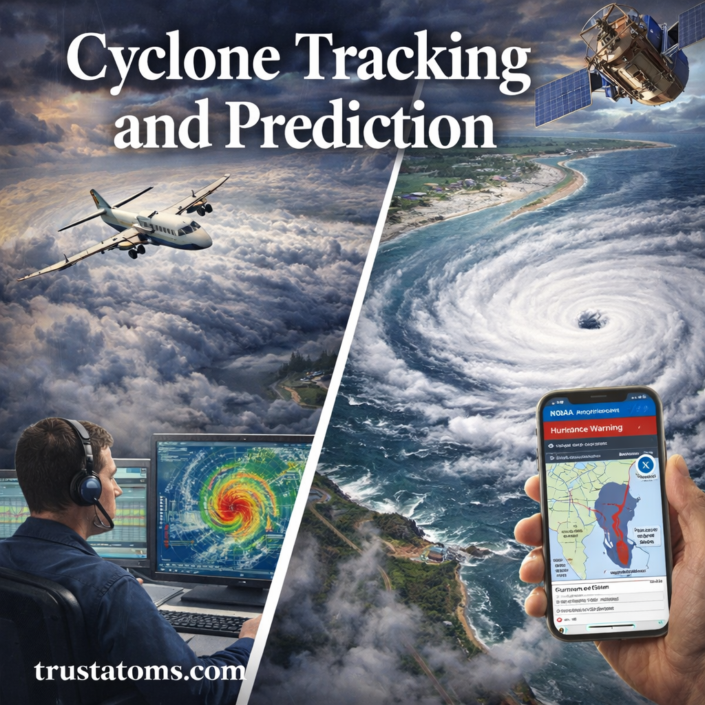
Cyclone tracking and prediction illustration showing satellite monitoring, aircraft reconnaissance, meteorologist analyzing storm data, and a hurricane approaching coastline.
Meteorologists combine satellite observations, aircraft measurements, and computer forecasts to monitor cyclone development and potential coastal impacts.

Cyclone tracking and prediction involve monitoring rotating low-pressure storms with satellites, radar, aircraft, and ocean instruments, then using computer models to forecast their movement and strength. These forecasts help meteorologists estimate where dangerous winds, heavy rainfall, storm surge, and flooding may occur so communities can prepare before conditions deteriorate.

Cyclones are among the most powerful and destructive weather systems on Earth. Understanding how scientists observe and forecast them connects atmospheric physics, ocean conditions, and emergency preparedness within Earth science.

Continue reading “Cyclone Tracking and Prediction: How Scientists Monitor and Forecast Powerful Storms”

Floodplain Mapping and Risk Management: Understanding Risk, Reducing Damage, and Planning Smarter

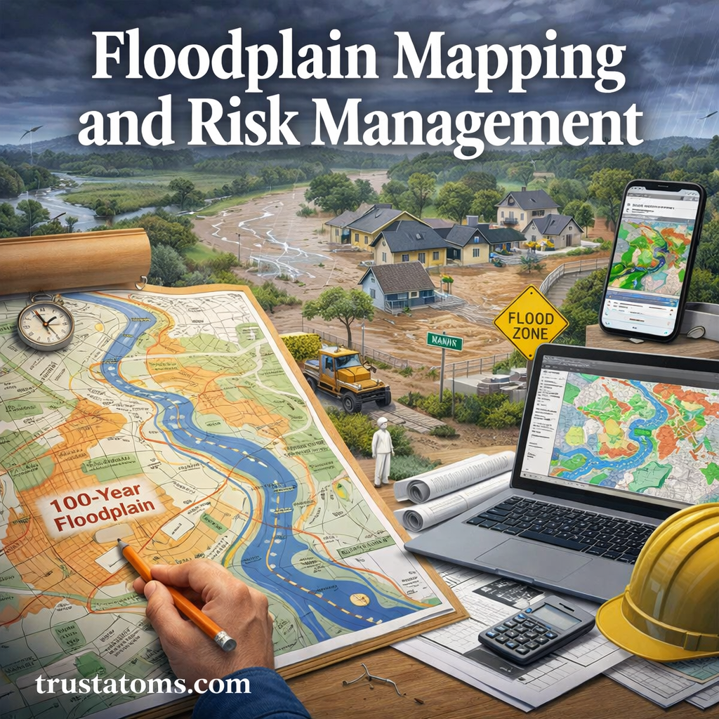
Floodplain mapping and risk management illustration showing flood zone maps, residential flooding, and digital tools used to assess flood risk.
Floodplain maps combine terrain, water-flow data, and flood models to identify areas where homes and infrastructure may be exposed to flooding.

Floodplain mapping identifies areas that could be inundated during floods, using elevation data, water-flow measurements, and computer models. Flood risk management uses this information to guide development, protect infrastructure, improve emergency planning, and reduce potential losses.

Flooding is one of the most common and costly natural hazards worldwide. As populations grow and development expands into vulnerable areas, understanding flood risk becomes increasingly important. Floodplain mapping connects hydrology, geography, and Earth science with practical decisions about where and how communities build.

Continue reading “Floodplain Mapping and Risk Management: Understanding Risk, Reducing Damage, and Planning Smarter”